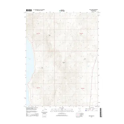
2014 Map of Dove Creek
USGS Topo · Published 2014About this map
Pyramid Lake defines the western edge of this Nevada landscape, where the high desert meets the water's edge along the foothills of the Lake Range. This 2014 survey captures the dramatic elevation changes between the basin floor and the surrounding peaks, centered on the drainage of Sevenmile Canyon. The terrain is marked by significant topographical features such as Big Basin and the prominent Allen Hill to the east. Human presence is limited to the corridor of Route 447, which skirts the eastern edge of the mountains near Dove Cr. This map is particularly useful for understanding the hydrologic connections in this arid environment, showing the location of Sevenmile Spring tucked within the interior canyons. The document clearly delineates the township and range boundaries that organize this part of Washoe County.
Find a feature on this map
12 named features on this map. Tap any name to fly to it.
Don’t see what you’re looking for? This feature index may not catch every label — zoom into the map to look around manually.
Map Details
Editions of this 2014 Dove Creek Map
This is the sole edition of this map. No revisions or reprints were ever made.
Other maps of this area

1886 · Granite Range
USGS Topo · 1:250,000

1890 · Wadsworth
USGS Topo · 1:125,000

1891 · Reno
USGS Topo · 1:125,000

1892 · Wadsworth
USGS Topo · 1:125,000

1893 · Reno
USGS Topo · 1:125,000

1894 · Granite Range
USGS Topo · 1:250,000

1894 · Wadsworth
USGS Topo · 1:125,000

1955 · Lovelock
USGS Topo · 1:250,000

1957 · Sutcliffe
USGS Topo · 1:62,500

1957 · Nixon
USGS Topo · 1:62,500