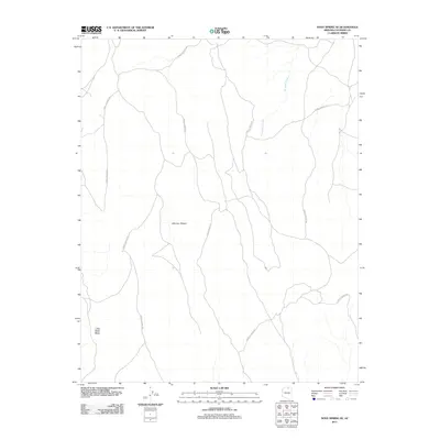
2011 Map of Dove Spring SE
USGS Topo · Published 2011About this map
Mormon Ridges dominate this high-desert landscape in northern Coconino County, defined by a network of primitive access routes and seasonal watercourses. This 2011 survey by the U.S. Geological Survey details an undeveloped stretch of terrain where Forest Service Rd paths provide the primary means of traversal through the arid upland. To the southwest, the prominent Little Black Mesa rises as a distinct topographical landmark, while the drainage of Antelope Creek cuts through the northern reaches of the quadrangle. The map captures a section of Arizona where land management and natural topography are the defining characteristics, offering a precise look at the drainage patterns and ridge systems that dictate the movement of water and travelers across this part of the Colorado Plateau.
Find a feature on this map
4 named features on this map. Tap any name to fly to it.
Don’t see what you’re looking for? This feature index may not catch every label — zoom into the map to look around manually.
Map Details
Editions of this 2011 Dove Spring SE Map
This is the sole edition of this map. No revisions or reprints were ever made.
Other maps of this area

1886 · Echo Cliffs
USGS Topo · 1:250,000

1891 · Echo Cliffs
USGS Topo · 1:250,000

1956 · Marble Canyon
USGS Topo · 1:250,000

1959 · Marble Canyon
USGS Topo · 1:250,000

1961 · Marble Canyon
USGS Topo · 1:250,000
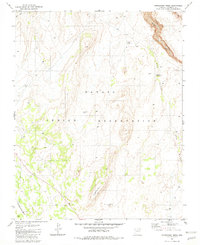
1981 · Horsethief Mesa
USGS Topo · 1:24,000
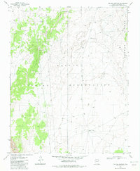
1982 · Toh Bih Nosteny
USGS Topo · 1:24,000
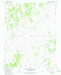
1982 · Sitting Coyote Hill
USGS Topo · 1:24,000
1982 · Preston Mesa North
USGS Topo · 1:24,000
1982 · Arrowhead Mesa
USGS Topo · 1:24,000