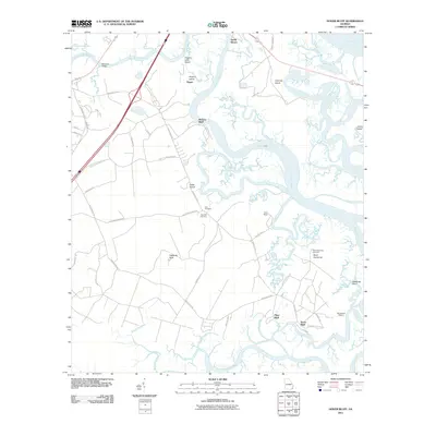
2011 Map of Dover Bluff
USGS Topo · Published 2011About this map
The tidal marshes and intricate waterways of the Georgia coast define this landscape near the mouth of the Little Satilla River. Centered around the winding reaches of Maiden Creek and Umbrella Creek, the map illustrates a network of bluffs and hammock lands that have long served as high-ground anchors for settlement and industry. Evidence of the region's deep history is present at the Old Spanish Mission and family-linked sites such as Hazzards Neck and Hickory Bluff.
Find a feature on this map
54 named features on this map. Tap any name to fly to it.
Don’t see what you’re looking for? This feature index may not catch every label — zoom into the map to look around manually.
Map Details
Editions of this 2011 Dover Bluff Map
This is the sole edition of this map. No revisions or reprints were ever made.
Other maps of this area

1918 · Cumberland Island
USGS Topo · 1:62,500

1918 · Bladen
USGS Topo · 1:62,500

1918 · Kingsland
USGS Topo · 1:62,500

1930 · Cumberland Island
USGS Topo · 1:62,500

1939 · Bladen
USGS Topo · 1:62,500

1945 · Brunswick
USGS Topo · 1:62,500

1945 · Cumberland Island
USGS Topo · 1:62,500

1946 · Brunswick
USGS Topo · 1:250,000

1948 · Jacksonville
USGS Topo · 1:250,000

1948 · Brunswick
USGS Topo · 1:250,000