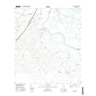
2017 Map of Dover Bluff
USGS Topo · Published 2017About this map
The Little Satilla River winds through a complex coastal ecosystem of tidal creeks and marshlands on the boundary of Glynn and Camden counties. This landscape is defined by the transition from the upland pine and oak forests of Hazzards Neck to the expansive salt marshes that separate the mainland from Colonels Island and Jointer Island. Several established bluff-top communities overlook the water, including Dover Bluff, Piney Bluff, and Hickory Bluff, reflecting a settlement pattern centered on high ground and river access. Local heritage is deeply rooted in the area, as evidenced by several smaller burial grounds such as Hull Cem, Ella Park Cem, and Black Hammock Cem. To the west, the extensive Hardee Swamp feeds into Sparkman Cr, illustrating the dense hydrological network that has shaped the geography of coastal Georgia.
Find a feature on this map
64 named features on this map. Tap any name to fly to it.
Don’t see what you’re looking for? This feature index may not catch every label — zoom into the map to look around manually.
Map Details
Editions of this 2017 Dover Bluff Map
This is the sole edition of this map. No revisions or reprints were ever made.
Other maps of this area

1918 · Cumberland Island
USGS Topo · 1:62,500

1918 · Bladen
USGS Topo · 1:62,500

1918 · Kingsland
USGS Topo · 1:62,500

1930 · Cumberland Island
USGS Topo · 1:62,500

1939 · Bladen
USGS Topo · 1:62,500

1945 · Brunswick
USGS Topo · 1:62,500

1945 · Cumberland Island
USGS Topo · 1:62,500

1946 · Brunswick
USGS Topo · 1:250,000

1948 · Jacksonville
USGS Topo · 1:250,000

1948 · Brunswick
USGS Topo · 1:250,000