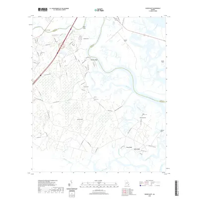
2020 Map of Dover Bluff
USGS Topo · Published 2020About this map
The Little Satilla River winds through a dense network of tidal creeks and marshland on this coastal Georgia survey, defining the border between Glynn and Camden counties. Small communities and family-named landings like Hickory Bluff and Dover Bluff are scattered along the high ground, connected by rural roads such as Dover Bluff Rd. The landscape is dominated by complex hydrology, where Maiden Creek and Umbrella Creek carve through the Hardee Swamp and around named elevations like Hazzards Neck. Genealogy researchers will find several small burial sites recorded here, including Hull Cem, Ella Park Cem, and Black Hammock Cem. This 2020 map documents the modern footprint of coastal settlements and the preservation of natural waterways like Fancy Bluff Creek and Sparkman Creek in a region where the environment and local history are inextricably linked by the tides.
Find a feature on this map
83 named features on this map. Tap any name to fly to it.
Don’t see what you’re looking for? This feature index may not catch every label — zoom into the map to look around manually.
Map Details
Editions of this 2020 Dover Bluff Map
This is the sole edition of this map. No revisions or reprints were ever made.
Other maps of this area

1918 · Cumberland Island
USGS Topo · 1:62,500

1918 · Bladen
USGS Topo · 1:62,500

1918 · Kingsland
USGS Topo · 1:62,500

1930 · Cumberland Island
USGS Topo · 1:62,500

1939 · Bladen
USGS Topo · 1:62,500

1945 · Brunswick
USGS Topo · 1:62,500

1945 · Cumberland Island
USGS Topo · 1:62,500

1946 · Brunswick
USGS Topo · 1:250,000

1948 · Jacksonville
USGS Topo · 1:250,000

1948 · Brunswick
USGS Topo · 1:250,000