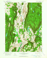
1958 Map of Dover Plains
USGS Topo · Published 1965About this map
The Tenmile River valley serves as the central corridor for this mid-century survey, where the New York Central railroad tracks connect established settlements along the New York-Connecticut border. The village of Dover Plains stands as a primary hub, known locally for The Stone Church, a natural cavern landmark. To the south, the extensive grounds of the Harlem Valley State Hospital dominate the landscape near Wingdale, illustrating the era's institutional development.
Find a feature on this map
56 named features on this map. Tap any name to fly to it.
Don’t see what you’re looking for? This feature index may not catch every label — zoom into the map to look around manually.
Map Details
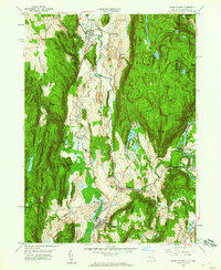
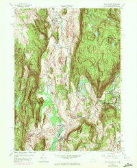
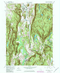
Editions of this 1958 Dover Plains Map
4 editions found
Other maps of this area

1892 · Cornwall
USGS Topo · 1:62,500

1892 · New Milford
USGS Topo · 1:62,500

1893 · New Milford
USGS Topo · 1:62,500

1893 · Cornwall
USGS Topo · 1:62,500

1893 · Clove
USGS Topo · 1:62,500

1894 · Clove
USGS Topo · 1:62,500

1898 · Clove
USGS Topo · 1:62,500

1899 · Millbrook
USGS Topo · 1:62,500

1901 · Clove
USGS Topo · 1:62,500

1902 · Millbrook
USGS Topo · 1:62,500