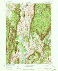
1958 Map of Dover Plains
USGS Topo · Published 1972About this map
Dover Plains and the surrounding Harlem Valley are defined by a distinct north-south corridor of rail and river transportation nestled between West Mountain and East Mountain. The Penn Central line threads through the valley floor, connecting the settlements of Wingdale and South Dover while passing the extensive grounds of the Harlem Valley State Hospital. This 1958 edition (photorevised in 1971) shows the landscape in transition, where established farming hamlets like Webatuck and Bains Corner meet newer developments such as a Golf Course near Ellis Pond. To the east, the Housatonic River forms a natural border with Connecticut, where the Schaghticoke Indian Reservation occupies the slopes of Schaghticoke Mtn near the crossing at Bulls Bridge. The topography is particularly detailed at The Stone Church, a natural cavern landmark north of the main village.
Find a feature on this map
66 named features on this map. Tap any name to fly to it.
Don’t see what you’re looking for? This feature index may not catch every label — zoom into the map to look around manually.
Map Details
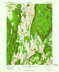
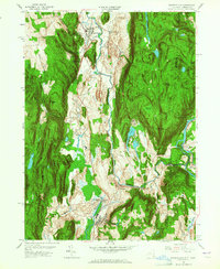
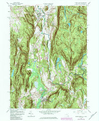
Editions of this 1958 Dover Plains Map
4 editions found
Other maps of this area

1892 · Cornwall
USGS Topo · 1:62,500

1892 · New Milford
USGS Topo · 1:62,500

1893 · New Milford
USGS Topo · 1:62,500

1893 · Cornwall
USGS Topo · 1:62,500

1893 · Clove
USGS Topo · 1:62,500

1894 · Clove
USGS Topo · 1:62,500

1898 · Clove
USGS Topo · 1:62,500

1899 · Millbrook
USGS Topo · 1:62,500

1901 · Clove
USGS Topo · 1:62,500

1902 · Millbrook
USGS Topo · 1:62,500