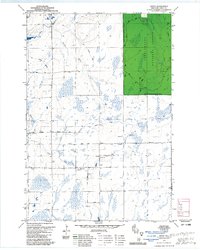
1979 Map of Dover
USGS Topo · Published 1985About this map
The Chequamegon National Forest and the Park Falls Ranger District dominate the northeastern portion of this Wisconsin landscape, where the Elk River and its various branches create a complex network of wetlands and waterways. The map illustrates a transitional rural economy, where an Old Railroad Grade once serviced the timber and transport needs of the area, now replaced by a grid of named local routes like Musser Drive and Blueberry Drive.
Find a feature on this map
24 named features on this map. Tap any name to fly to it.
Don’t see what you’re looking for? This feature index may not catch every label — zoom into the map to look around manually.
Map Details
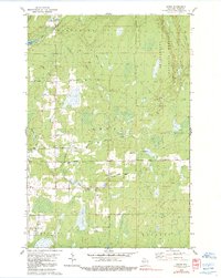
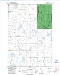
Editions of this 1979 Dover Map
3 editions found
Other maps of this area

1941 · Park Falls
USGS Topo · 1:48,000

1941 · Pike Lake
USGS Topo · 1:48,000

1941 · Phillips
USGS Topo · 1:48,000

1941 · Brantwood
USGS Topo · 1:48,000

1942 · Pike Lake
USGS Topo · 1:48,000

1943 · Park Falls
USGS Topo · 1:48,000

1943 · Philliips
USGS Topo · 1:48,000

1943 · Brantwood
USGS Topo · 1:48,000

1947 · Park Falls
USGS Topo · 1:48,000

1950 · Pike Lake
USGS Topo · 1:48,000