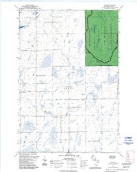
1979 Map of Dover
USGS Topo · Published 1992About this map
The town of Dover anchors this portion of Price County, situated where Martins Drive and Birchwood Drive intersect. The landscape is defined by the winding paths of the Elk River and the Little Elk River, which flow through the marshy lowlands of Elk Valley. This 1970s survey captures a transition in land use, showing the Chequamegon National Forest occupying the eastern portion of the quadrangle, including a designated Semi-Primitive Non-Motorized Area within the Park Falls Ranger District.
Find a feature on this map
26 named features on this map. Tap any name to fly to it.
Don’t see what you’re looking for? This feature index may not catch every label — zoom into the map to look around manually.
Map Details
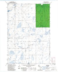
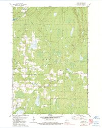
Editions of this 1979 Dover Map
3 editions found
Other maps of this area

1941 · Park Falls
USGS Topo · 1:48,000

1941 · Pike Lake
USGS Topo · 1:48,000

1941 · Phillips
USGS Topo · 1:48,000

1941 · Brantwood
USGS Topo · 1:48,000

1942 · Pike Lake
USGS Topo · 1:48,000

1943 · Park Falls
USGS Topo · 1:48,000

1943 · Philliips
USGS Topo · 1:48,000

1943 · Brantwood
USGS Topo · 1:48,000

1947 · Park Falls
USGS Topo · 1:48,000

1950 · Pike Lake
USGS Topo · 1:48,000