
1950 Map of Dover
USGS Topo · Published 1954About this map
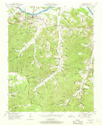
Fort Donelson National Military Park overlooks the Cumberland River at the northern edge of this 1950s survey, marking a landscape defined by Civil War history and mid-century river management. The town of Dover serves as the focal point, situated near Lock D and the National Cem. The topography is a dense network of hollows and ridges, including the prominent Tennessee Ridge and the Tennessee Valley Divide, which dictate the placement of rural settlements like Carlisle and Settle.
Find a feature on this map
106 named features on this map. Tap any name to fly to it.
Don’t see what you’re looking for? This feature index may not catch every label — zoom into the map to look around manually.
Map Details
Editions of this 1950 Dover Map
4 editions found
Other maps of this area

1931 · Erin
USGS Topo · 1:62,500

1936 · Tharpe
USGS Topo · 1:24,000

1936 · Tantrough Hollow
USGS Topo · 1:24,000

1936 · McKinnon
USGS Topo · 1:24,000

1936 · Stewart
USGS Topo · 1:24,000

1936 · Standing Rock
USGS Topo · 1:24,000

1936 · Dover
USGS Topo · 1:24,000

1950 · Stewart
USGS Topo · 1:24,000

1950 · Standing Rock
USGS Topo · 1:24,000
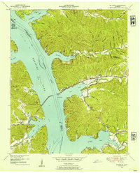
1950 · Mc Kinnon
USGS Topo · 1:24,000