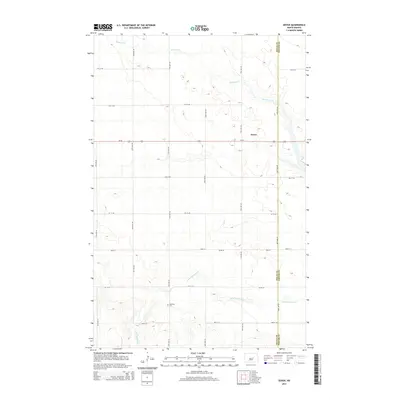
2014 Map of Dover
USGS Topo · Published 2014About this map
Dover serves as the focal point of this prairie landscape, situated near the boundary between Wells Co and Foster Co. The map captures a quintessential North Dakota agricultural grid, punctuated by the winding paths of Pipestem Cr and its tributary, Little Pipestem Cr. These watercourses create natural breaks in the rectangular sections of farmland, offering a distinct contrast to the straight lines of the local road network. To the south, the Brethren Cem stands as a significant landmark for genealogical research, representing the heritage of the local community. The presence of Us-52 running east-to-west through the center of the sheet indicates the importance of this corridor for regional transportation, connecting the small settlement of Dover to the broader landscape of the northern plains.
Find a feature on this map
15 named features on this map. Tap any name to fly to it.
Don’t see what you’re looking for? This feature index may not catch every label — zoom into the map to look around manually.
Map Details
Editions of this 2014 Dover Map
This is the sole edition of this map. No revisions or reprints were ever made.
Other maps of this area

1948 · New Rockford
USGS Topo · 1:62,500

1948 · Cathay
USGS Topo · 1:62,500

1948 · Carrington
USGS Topo · 1:62,500

1949 · Cathay
USGS Topo · 1:24,000

1949 · Cathay SE
USGS Topo · 1:24,000

1950 · Barlow
USGS Topo · 1:24,000

1950 · Carrington SW
USGS Topo · 1:24,000

1950 · Carrington West
USGS Topo · 1:24,000

1951 · Dover
USGS Topo · 1:24,000

1951 · Sykeston
USGS Topo · 1:24,000