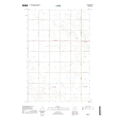
2020 Map of Dover
USGS Topo · Published 2020About this map
The small settlement of Dover sits within a wide agricultural landscape on the border of Wells Co and Foster Co. This prairie terrain is defined by a grid of section lines and gravel roads, including Main St and 55th Ave NE, which connect isolated farmsteads across the township. The hydrology of the region is centered on the meandering paths of Pipestem Creek and Little Pipestem Cr, which provide natural drainage through the undulating plains. A notable local landmark for genealogists and historians is the Brethren Cem located in the southern portion of the quadrangle. The map illustrates a contemporary rural North Dakota community where the spatial organization remains tied to the original Public Land Survey System, as seen in the prominent township and range markings like t146n r68w.
Find a feature on this map
31 named features on this map. Tap any name to fly to it.
Don’t see what you’re looking for? This feature index may not catch every label — zoom into the map to look around manually.
Map Details
Editions of this 2020 Dover Map
This is the sole edition of this map. No revisions or reprints were ever made.
Other maps of this area

1948 · New Rockford
USGS Topo · 1:62,500

1948 · Cathay
USGS Topo · 1:62,500

1948 · Carrington
USGS Topo · 1:62,500

1949 · Cathay
USGS Topo · 1:24,000

1949 · Cathay SE
USGS Topo · 1:24,000

1950 · Barlow
USGS Topo · 1:24,000

1950 · Carrington SW
USGS Topo · 1:24,000

1950 · Carrington West
USGS Topo · 1:24,000

1951 · Dover
USGS Topo · 1:24,000

1951 · Sykeston
USGS Topo · 1:24,000