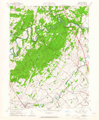
1963 Map of Dover
USGS Topo · Published 1965About this map
The Conewago Mountains dominate this mid-century landscape of York County, Pennsylvania, where the winding course of Conewago Creek carves a deep valley through the forested terrain. This survey captures a moment of local recreation and transit, featuring the developing Gifford Pinchot State Park and Conewago Lake on the western edge. Cultural landmarks of the era are well-represented, including the Susquehanna Speedway near Erney and a Drive-in Theater just south of Strinestown.
Find a feature on this map
56 named features on this map. Tap any name to fly to it.
Don’t see what you’re looking for? This feature index may not catch every label — zoom into the map to look around manually.
Map Details
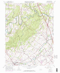
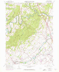
Editions of this 1963 Dover Map
3 editions found
Other maps of this area

1906 · New Cumberland
USGS Topo · 1:62,500

1908 · Middletown
USGS Topo · 1:62,500

1908 · York
USGS Topo · 1:62,500

1910 · York
USGS Topo · 1:62,500

1920 · Hanover
USGS Topo · 1:62,500

1922 · Hanover
USGS Topo · 1:62,500

1943 · New Cumberland
USGS Topo · 1:62,500

1943 · Middletown
USGS Topo · 1:62,500

1948 · Baltimore
USGS Topo · 1:250,000

1950 · Harrisburg
USGS Topo · 1:250,000
Featured Places
- Warrington Township, PA
- West Manchester Township, PA
- Conewago Township, PA
- Newberry Township, PA
- Dover, PA