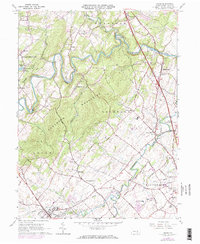
1963 Map of Dover
USGS Topo · Published 1973About this map
Conewago Creek carves a deeply sinuous path through the center of this York County landscape, separating the forested Conewago Mountains from the developing agricultural and residential tracts to the south. The survey captures a moment of suburban transition in the early 1960s, with updates from the 1970s revealing the expansion of residential patterns near Dover and the establishment of recreation sites like Gifford Pinchot State Park.
Find a feature on this map
53 named features on this map. Tap any name to fly to it.
Don’t see what you’re looking for? This feature index may not catch every label — zoom into the map to look around manually.
Map Details
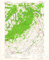
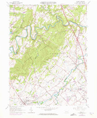
Editions of this 1963 Dover Map
3 editions found
Other maps of this area

1906 · New Cumberland
USGS Topo · 1:62,500

1908 · Middletown
USGS Topo · 1:62,500

1908 · York
USGS Topo · 1:62,500

1910 · York
USGS Topo · 1:62,500

1920 · Hanover
USGS Topo · 1:62,500

1922 · Hanover
USGS Topo · 1:62,500

1943 · New Cumberland
USGS Topo · 1:62,500

1943 · Middletown
USGS Topo · 1:62,500

1948 · Baltimore
USGS Topo · 1:250,000

1950 · Harrisburg
USGS Topo · 1:250,000
Featured Places
- Warrington Township, PA
- West Manchester Township, PA
- Conewago Township, PA
- Newberry Township, PA
- Dover, PA