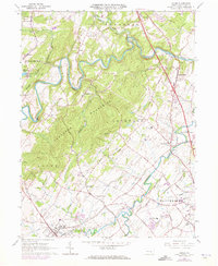
1963 Map of Dover
USGS Topo · Published 1973About this map
The Conewago Mountains dominate the central landscape of York County in this early 1960s study, creating a dramatic natural barrier between the agricultural plains of Dover and the northern reaches of Newberry. The winding course of Conewago Creek and Little Conewago Creek defines much of the local topography, carving through the ridges near small crossroads settlements like Andersontown and Strinestown. Social and community life of the era is anchored by numerous country houses of worship and cemeteries, including Rohlers Ch Cem and St James Ch.
Find a feature on this map
62 named features on this map. Tap any name to fly to it.
Don’t see what you’re looking for? This feature index may not catch every label — zoom into the map to look around manually.
Map Details
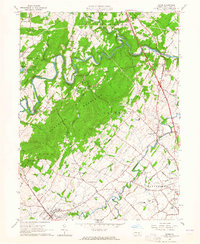
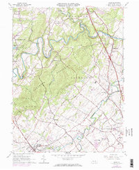
Editions of this 1963 Dover Map
3 editions found
Other maps of this area

1906 · New Cumberland
USGS Topo · 1:62,500

1908 · Middletown
USGS Topo · 1:62,500

1908 · York
USGS Topo · 1:62,500

1910 · York
USGS Topo · 1:62,500

1920 · Hanover
USGS Topo · 1:62,500

1922 · Hanover
USGS Topo · 1:62,500

1943 · New Cumberland
USGS Topo · 1:62,500

1943 · Middletown
USGS Topo · 1:62,500

1948 · Baltimore
USGS Topo · 1:250,000

1950 · Harrisburg
USGS Topo · 1:250,000
Featured Places
- Warrington Township, PA
- West Manchester Township, PA
- Conewago Township, PA
- Newberry Township, PA
- Dover, PA