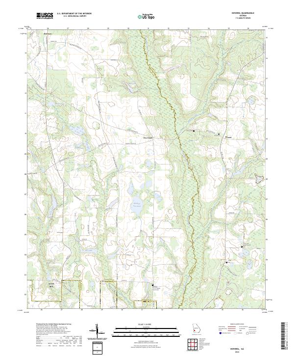
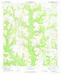
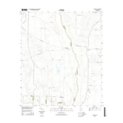
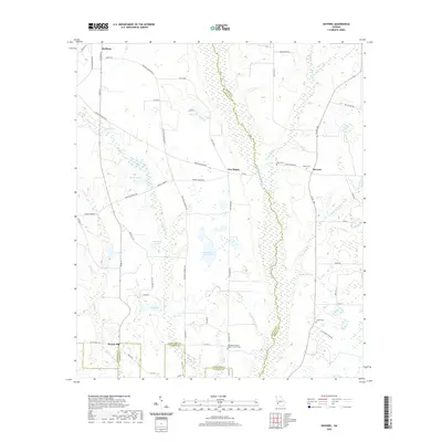
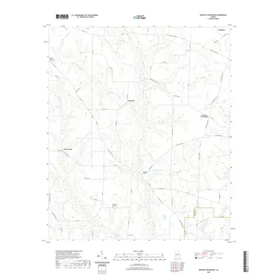
2024 Map of Doverel
USGS Topo · Published 2024About this map
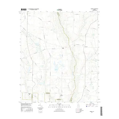
Ichawaynochaway Creek meanders southward through the heart of this landscape, forming the primary drainage and a natural boundary within the southwestern Georgia coastal plain. The settlement of Shellman occupies the northwestern corner, serving as a hub for local roads like Burney Rd and Pearl St. Moving toward the center and east, the terrain is dotted with small water bodies and wetlands, including Hundred Acre Pond, Bynum Lake, and Rice Lake, interspersed with agricultural tracts and timberland.
Find a feature on this map
61 named features on this map. Tap any name to fly to it.
Don’t see what you’re looking for? This feature index may not catch every label — zoom into the map to look around manually.
Map Details
Editions of this 2024 Doverel Map
This is the sole edition of this map. No revisions or reprints were ever made.
Historical Maps of Shellman Through Time
25 maps found
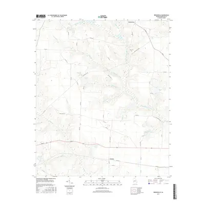
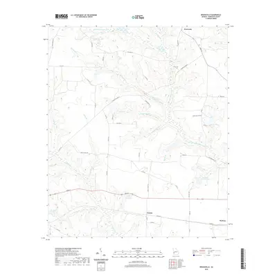
1972 Brooksville
Randolph County, GA
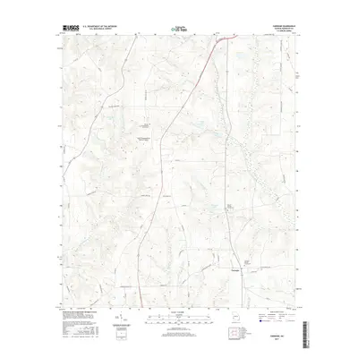
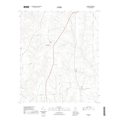
1973 Carnegie
Randolph County, GA
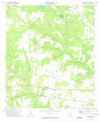
1973 Doverel
Randolph County, GA
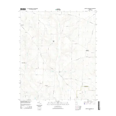
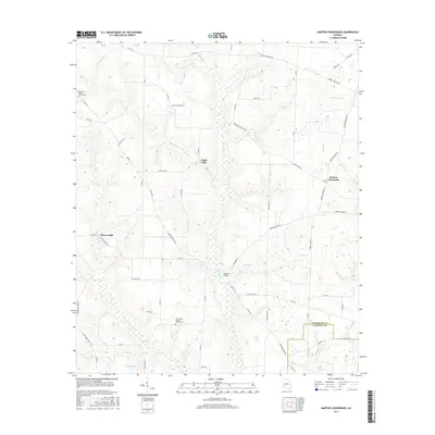
1973 Martins Crossroads
Randolph County, GA

1978 La Grange
Randolph County, GA
2011 Brooksville
Randolph County, GA
2011 Carnegie
Randolph County, GA
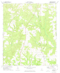
2011 Doverel
Randolph County, GA
2011 Martins Crossroads
Randolph County, GA
2014 Brooksville
Randolph County, GA
2014 Carnegie
Randolph County, GA
2014 Doverel
Randolph County, GA
2014 Martins Crossroads
Randolph County, GA
2017 Brooksville
Randolph County, GA
2017 Carnegie
Randolph County, GA
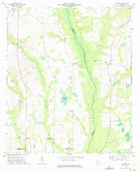
2017 Doverel
Randolph County, GA
2017 Martins Crossroads
Randolph County, GA
2020 Brooksville
Randolph County, GA
2020 Carnegie
Randolph County, GA
2020 Doverel
Randolph County, GA
2020 Martins Crossroads
Randolph County, GA
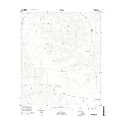
2024 Brooksville
Randolph County, GA
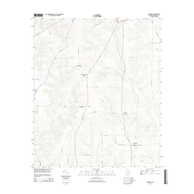
2024 Carnegie
Randolph County, GA
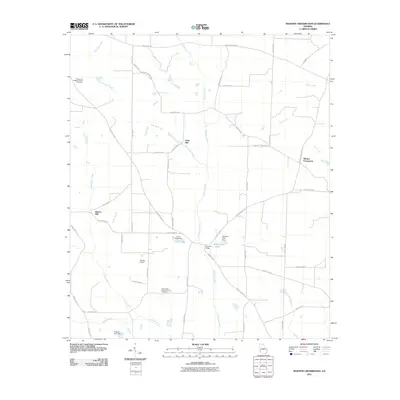
2024 Doverel
Randolph County, GA
2024 Martins Crossroads
Randolph County, GA