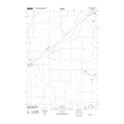
2010 Map of Dow City
USGS Topo · Published 2010About this map
Boyer River drainage patterns define this Crawford County landscape, where small rail-aligned communities grew along the waterway's northeast-to-southwest corridor. The settlement of Dow City and nearby Arion serve as focal points for the region's agricultural and transit history, with the Arion Post Office and Dow City Post Office marking the vital mail hubs of the era. To the east, Buck Grove sits near the winding Buck Creek, connected by the local Buck Grove Bridge. This 2010 survey highlights the persistent rural character of western Iowa, documented through landmarks like the Washington Township Cemetery and Butler Cemetery. The infrastructure of the early 21st century is evident in the presence of the Denison Municipal Airport and a grid of secondary roads like Lincoln Way and Milwaukee Rd, which reflect the modernization of historic transport routes across the prairie.
Find a feature on this map
49 named features on this map. Tap any name to fly to it.
Don’t see what you’re looking for? This feature index may not catch every label — zoom into the map to look around manually.
Map Details
Editions of this 2010 Dow City Map
This is the sole edition of this map. No revisions or reprints were ever made.
Other maps of this area

1954 · Omaha
USGS Topo · 1:250,000

1954 · Fort Dodge
USGS Topo · 1:250,000

1957 · Omaha
USGS Topo · 1:250,000

1957 · Fort Dodge
USGS Topo · 1:250,000

1958 · Omaha
USGS Topo · 1:250,000

1958 · Fort Dodge
USGS Topo · 1:250,000

1971 · Earling
USGS Topo · 1:24,000

1971 · Dunlap
USGS Topo · 1:24,000

1971 · Earling NE
USGS Topo · 1:24,000

1971 · Denison
USGS Topo · 1:24,000