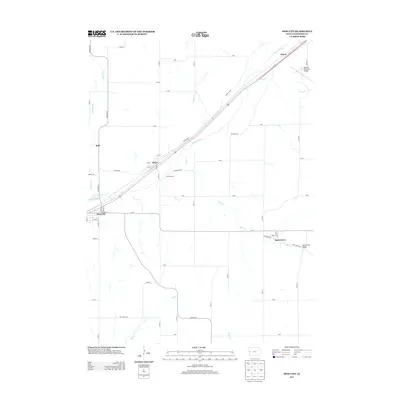
2013 Map of Dow City
USGS Topo · Published 2013About this map
Dow City and Arion serve as central hubs for this section of Crawford County, where the Boyer River drainage system dictates the local geography. The map illustrates a landscape defined by the intersection of early transportation routes and river valleys, with the historic Lincoln Way running parallel to the river and rail corridors. Small settlements like Buck Grove and Kimze are situated along these transit lines, while the Denison Municipal Airport marks the northeastern corner of the study area near Coon Cr.
Find a feature on this map
57 named features on this map. Tap any name to fly to it.
Don’t see what you’re looking for? This feature index may not catch every label — zoom into the map to look around manually.
Map Details
Editions of this 2013 Dow City Map
This is the sole edition of this map. No revisions or reprints were ever made.
Other maps of this area

1954 · Omaha
USGS Topo · 1:250,000

1954 · Fort Dodge
USGS Topo · 1:250,000

1957 · Omaha
USGS Topo · 1:250,000

1957 · Fort Dodge
USGS Topo · 1:250,000

1958 · Omaha
USGS Topo · 1:250,000

1958 · Fort Dodge
USGS Topo · 1:250,000

1971 · Earling
USGS Topo · 1:24,000

1971 · Dunlap
USGS Topo · 1:24,000

1971 · Earling NE
USGS Topo · 1:24,000

1971 · Denison
USGS Topo · 1:24,000