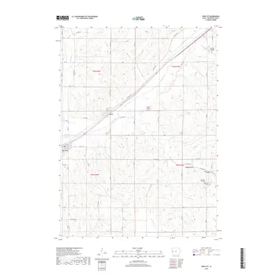
2018 Map of Dow City
USGS Topo · Published 2018About this map
Boyer River meanders through the heart of this Crawford County landscape, defining the corridor for major transportation routes. The Union Pacific Railroad and Lincoln Way parallel the river valley, connecting the small rail-aligned settlements of Arion and Dow City. These towns serve as focal points in a region characterized by a dense network of sectional roads and agricultural land. Farther southeast, the village of Buck Grove sits near its namesake Buck Cr, featuring the Buck Grove Bridge.
Find a feature on this map
54 named features on this map. Tap any name to fly to it.
Don’t see what you’re looking for? This feature index may not catch every label — zoom into the map to look around manually.
Map Details
Editions of this 2018 Dow City Map
This is the sole edition of this map. No revisions or reprints were ever made.
Other maps of this area

1954 · Omaha
USGS Topo · 1:250,000

1954 · Fort Dodge
USGS Topo · 1:250,000

1957 · Omaha
USGS Topo · 1:250,000

1957 · Fort Dodge
USGS Topo · 1:250,000

1958 · Omaha
USGS Topo · 1:250,000

1958 · Fort Dodge
USGS Topo · 1:250,000

1971 · Earling
USGS Topo · 1:24,000

1971 · Dunlap
USGS Topo · 1:24,000

1971 · Earling NE
USGS Topo · 1:24,000

1971 · Denison
USGS Topo · 1:24,000