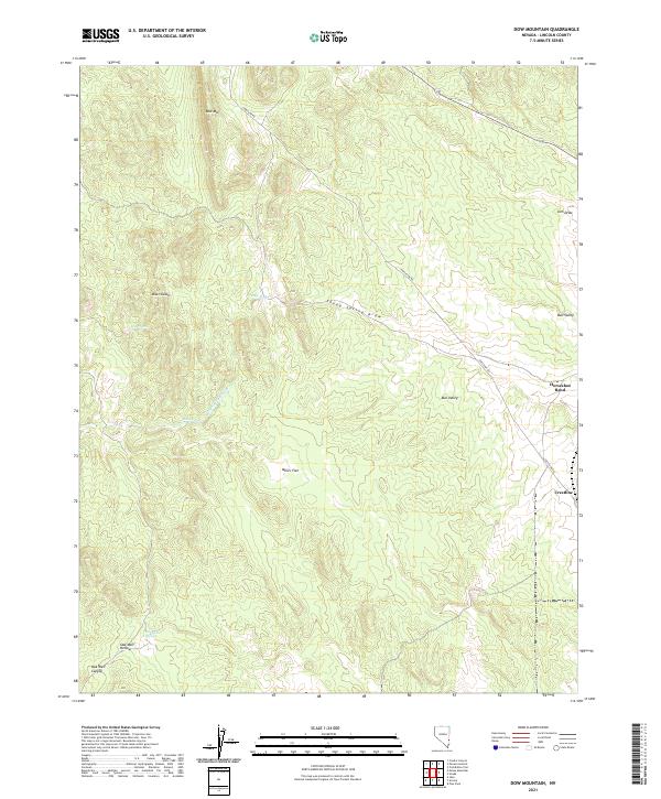
2021 Map of Dow Mountain
USGS Topo · Published 2021About this map
Dow Mtn anchors a high-desert landscape in Lincoln County, where seasonal water sources and deep drainage patterns define the human geography. The presence of several named springs, including Miser Spring, Miller Spring, and Sheep Spring, suggests a historical reliance on these scarce points of water for livestock and travel across the arid terrain. The remote outpost of Crestline and the winding Crestline Rd trace the path of high-elevation routes through the territory, connecting the high flats to sheltered valleys.
Find a feature on this map
22 named features on this map. Tap any name to fly to it.
Don’t see what you’re looking for? This feature index may not catch every label — zoom into the map to look around manually.
Map Details
Editions of this 2021 Dow Mountain Map
This is the sole edition of this map. No revisions or reprints were ever made.
Other maps of this area

1885 · Pioche
USGS Topo · 1:250,000

1886 · Pioche
USGS Topo · 1:250,000

1921 · NW 1/4 Panaca
USGS Topo · 1:48,000

1954 · Caliente
USGS Topo · 1:250,000

1959 · Caliente
USGS Topo · 1:250,000
1970 · Condor Canyon
USGS Topo · 1:24,000
1972 · Panaca Summit
USGS Topo · 1:24,000
1972 · Uvada
USGS Topo · 1:24,000
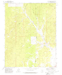
1972 · Prohibition Flat
USGS Topo · 1:24,000
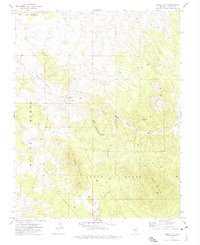
1972 · Mosey Mtn
USGS Topo · 1:24,000