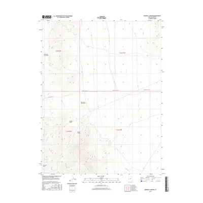
2017 Map of Dowdell Canyon
USGS Topo · Published 2017About this map
Confusion Range terrain dominates this portion of Millard County, where a stark network of drainages and high desert valleys defines the land use. The topography is anchored by Dowdell Canyon and Payson Canyon, which cut through the western slopes towards the open basin. Human imprint is minimal and pragmatic, centered on the aptly named Mile and a Half Rd and its namesake, Mile and a Half Canyon. To the north, the geography softens into the high-altitude grazing grounds of Cattlemens Little Valley. This survey captures the region as a high-clearance corridor of public lands, where the township and range lines of t19s r16w and t18s r15w provide the primary framework for navigation and land management.
Find a feature on this map
10 named features on this map. Tap any name to fly to it.
Don’t see what you’re looking for? This feature index may not catch every label — zoom into the map to look around manually.
Map Details
Editions of this 2017 Dowdell Canyon Map
This is the sole edition of this map. No revisions or reprints were ever made.
Other maps of this area

1908 · Fish Springs
USGS Topo · 1:250,000

1910 · Fish Springs
USGS Topo · 1:250,000

1953 · Delta
USGS Topo · 1:250,000

1958 · Delta
USGS Topo · 1:250,000

1959 · Cowboy Pass
USGS Topo · 1:62,500

1960 · Notch Peak
USGS Topo · 1:62,500

1960 · Conger Mountain
USGS Topo · 1:62,500

1962 · Delta
USGS Topo · 1:250,000

1972 · Swasey Peak SW
USGS Topo · 1:24,000
1981 · Tule Valley
USGS Topo · 1:100,000