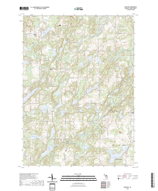
2023 Map of Dowling
USGS Topo · Published 2023About this map
Dowling and the surrounding Barry County countryside appear here as a landscape defined by an intricate network of glacial lakes and wetlands. The settlement of Cedar Creek sits near the namesake waterway, which flows through the center of the quadrangle, while smaller communities like Podunk and Schultz anchor the northern reaches. For genealogists and local historians, the presence of Dowling Cem, Cedar Creek Cem, and Tanner Cem provides vital links to the area's early residents and family plots.
Find a feature on this map
105 named features on this map. Tap any name to fly to it.
Don’t see what you’re looking for? This feature index may not catch every label — zoom into the map to look around manually.
Map Details
Editions of this 2023 Dowling Map
This is the sole edition of this map. No revisions or reprints were ever made.
Other maps of this area
1918 · Battle Creek
USGS Topo · 1:62,500
1918 · Galesburg
USGS Topo · 1:62,500
1943 · Battle Creek
USGS Topo · 1:62,500
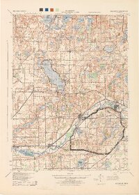
1944 · Galesburg
USGS Topo · 1:62,500
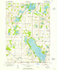
1947 · Delton
USGS Topo · 1:24,000
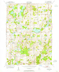
1947 · Banfield
USGS Topo · 1:24,000
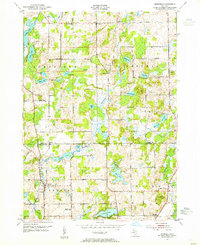
1947 · Bedford
USGS Topo · 1:24,000
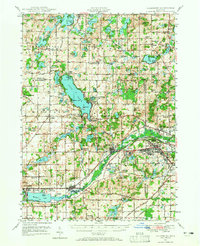
1947 · Galesburg
USGS Topo · 1:62,500
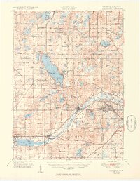
1950 · Galesburg
USGS Topo · 1:62,500
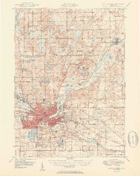
1950 · Battle Creek
USGS Topo · 1:62,500
Featured Places
- Baltimore Township, MI
- Johnstown Township, MI
- Hastings Township, MI
- Barry Township, MI
- Rutland Charter Township, MI