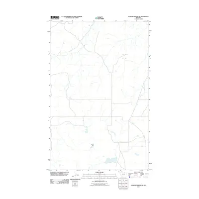
2011 Map of Down Reservoir NE
USGS Topo · Published 2011About this map
Muddy Dam sits near the southern reaches of this sparsely populated ranching landscape in Blaine County, characterized by a complex network of intermittent drainages and small reservoirs typical of north-central Montana. The terrain is marked by the long stretch of N Dodson Rd, which provides a primary transit corridor through the open range. In this period, the geography reflects a reliance on water management for livestock, with several unnamed small catchment ponds scattered across the plains to support the local agricultural economy. This 2011 survey, based on NAIP imagery from 2009, documents the precise contours and water resources of the High Plains before more recent shifts in land use and climate patterns.
Find a feature on this map
2 named features on this map. Tap any name to fly to it.
Don’t see what you’re looking for? This feature index may not catch every label — zoom into the map to look around manually.
Map Details
Editions of this 2011 Down Reservoir NE Map
This is the sole edition of this map. No revisions or reprints were ever made.
Other maps of this area

1920 · Avery
USGS Topo · 1:125,000

1953 · Havre
USGS Topo · 1:250,000

1957 · Havre
USGS Topo · 1:250,000

1958 · Havre
USGS Topo · 1:250,000

1984 · Chapman
USGS Topo · 1:24,000

1984 · Emerick Bench
USGS Topo · 1:24,000

1984 · Turner
USGS Topo · 1:24,000
1984 · Hubert Hill SW
USGS Topo · 1:24,000
1984 · Down Reservoir NW
USGS Topo · 1:24,000
1984 · Down Reservoir NE
USGS Topo · 1:24,000