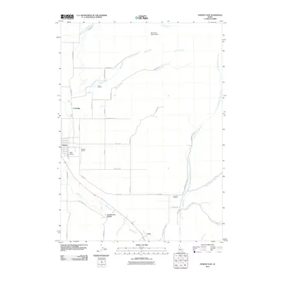
2010 Map of Downey East
USGS Topo · Published 2010About this map
Downata Hot Springs and the agricultural lands of the Marsh Creek valley define this high-desert landscape in southeastern Idaho. The map captures a corridor of small settlements along the base of the mountains, including Downey, Cambridge, and the site of Zenda. Irrigation remains a central theme for the region, illustrated by the Portneuf Marsh Valley Canal as it winds across the valley floor to support the local ranching and farming economy.
Find a feature on this map
39 named features on this map. Tap any name to fly to it.
Don’t see what you’re looking for? This feature index may not catch every label — zoom into the map to look around manually.
Map Details
Editions of this 2010 Downey East Map
This is the sole edition of this map. No revisions or reprints were ever made.
Other maps of this area

1915 · Preston
USGS Topo · 1:96,000

1918 · Preston
USGS Topo · 1:125,000

1948 · Bancroft
USGS Topo · 1:62,500

1949 · Bancroft
USGS Topo · 1:62,500

1954 · Pocatello
USGS Topo · 1:250,000

1955 · Preston
USGS Topo · 1:250,000

1958 · Pocatello
USGS Topo · 1:250,000

1958 · Preston
USGS Topo · 1:250,000

1962 · Preston
USGS Topo · 1:250,000

1968 · Malad Summit
USGS Topo · 1:24,000