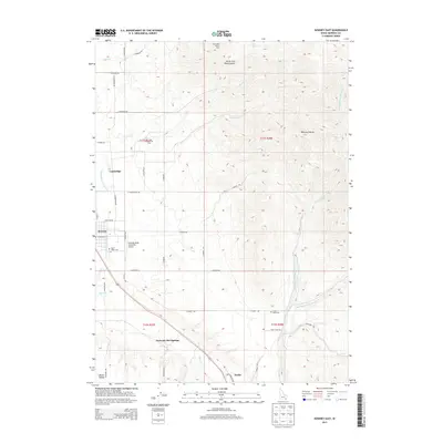
2013 Map of Downey East
USGS Topo · Published 2013About this map
Marsh Valley serves as the central corridor for this part of Bannock County, where irrigation and aviation infrastructure meet the rising slopes of the Portneuf Range. The agricultural character of the valley is defined by the Portneuf Marsh-Valley Canal and a grid of rural roads such as S England Rd and S Webb Rd. The town of Downey sits at the heart of this landscape, supported by the Downey (Hyde Memorial) Airport and nearby settlements like Cambridge.
Find a feature on this map
50 named features on this map. Tap any name to fly to it.
Don’t see what you’re looking for? This feature index may not catch every label — zoom into the map to look around manually.
Map Details
Editions of this 2013 Downey East Map
This is the sole edition of this map. No revisions or reprints were ever made.
Other maps of this area

1915 · Preston
USGS Topo · 1:96,000

1918 · Preston
USGS Topo · 1:125,000

1948 · Bancroft
USGS Topo · 1:62,500

1949 · Bancroft
USGS Topo · 1:62,500

1954 · Pocatello
USGS Topo · 1:250,000

1955 · Preston
USGS Topo · 1:250,000

1958 · Pocatello
USGS Topo · 1:250,000

1958 · Preston
USGS Topo · 1:250,000

1962 · Preston
USGS Topo · 1:250,000

1968 · Malad Summit
USGS Topo · 1:24,000