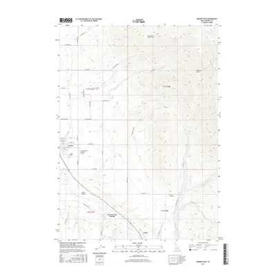
2017 Map of Downey East
USGS Topo · Published 2017About this map
Downey sits as the central hub of this eastern Idaho landscape, where the valley floor meets the rising peaks of the Portneuf Range. The map documents a complex irrigation and drainage network vital to the region's agricultural character, including the Portneuf Marsh Valley Canal and Marsh Cr. Local heritage is anchored by several sites of significance to genealogists, such as Downey Cem, Marsh Valley Cem, and the Grant Ward Cem.
Find a feature on this map
54 named features on this map. Tap any name to fly to it.
Don’t see what you’re looking for? This feature index may not catch every label — zoom into the map to look around manually.
Map Details
Editions of this 2017 Downey East Map
This is the sole edition of this map. No revisions or reprints were ever made.
Other maps of this area

1915 · Preston
USGS Topo · 1:96,000

1918 · Preston
USGS Topo · 1:125,000

1948 · Bancroft
USGS Topo · 1:62,500

1949 · Bancroft
USGS Topo · 1:62,500

1954 · Pocatello
USGS Topo · 1:250,000

1955 · Preston
USGS Topo · 1:250,000

1958 · Pocatello
USGS Topo · 1:250,000

1958 · Preston
USGS Topo · 1:250,000

1962 · Preston
USGS Topo · 1:250,000

1968 · Malad Summit
USGS Topo · 1:24,000