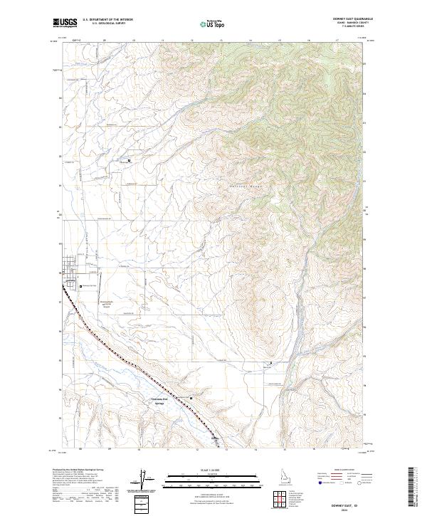
2024 Map of Downey East
USGS Topo · Published 2024About this map
Marsh Valley serves as the central corridor of this Bannock County landscape, where agricultural roads and rural settlements follow the course of Marsh Creek. The valley is framed to the east by the rising elevations of the Portneuf Range, cut by features like Clegg Canyon. The town of Downey is the primary hub, situated near the Downey/Hyde Memorial Airport and the Downey City Cem. Further south, the landscape is marked by the thermal geography of Downata Hot Springs and the small locality of Zenda. Genealogy and local history are anchored by several remote burial sites, including Cambridge Cem to the north and the Byington Cem and Grant Ward Cem further south. The drainage network is complex, with the Left Hand Fork Marsh Creek and Right Hand Fork Marsh Creek converging to feed the valley's water system.
Find a feature on this map
51 named features on this map. Tap any name to fly to it.
Don’t see what you’re looking for? This feature index may not catch every label — zoom into the map to look around manually.
Map Details
Editions of this 2024 Downey East Map
This is the sole edition of this map. No revisions or reprints were ever made.
Other maps of this area

1915 · Preston
USGS Topo · 1:96,000

1918 · Preston
USGS Topo · 1:125,000

1948 · Bancroft
USGS Topo · 1:62,500

1949 · Bancroft
USGS Topo · 1:62,500

1954 · Pocatello
USGS Topo · 1:250,000

1955 · Preston
USGS Topo · 1:250,000

1958 · Pocatello
USGS Topo · 1:250,000

1958 · Preston
USGS Topo · 1:250,000

1962 · Preston
USGS Topo · 1:250,000

1968 · Malad Summit
USGS Topo · 1:24,000