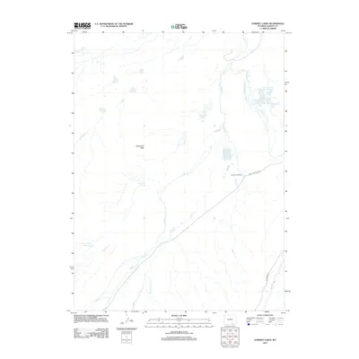
2012 Map of Downey Lakes
USGS Topo · Published 2012About this map
Spring Creek Ranch serves as a central landmark in this high-plains landscape of southern Albany County, where water management defines the pattern of land use. The topography is shaped by an intricate system of irrigation and storage, including the Davis Brothers Ditch Number 1 and Lone Tree Ditch, which feed into Lone Tree Reservoir Number 1 and its companion reservoir. These features, along with Rice Reservoir and Trapper Spring Reservoir, illustrate the critical importance of water rights and engineering for ranching in this environment.
Find a feature on this map
20 named features on this map. Tap any name to fly to it.
Don’t see what you’re looking for? This feature index may not catch every label — zoom into the map to look around manually.
Map Details
Editions of this 2012 Downey Lakes Map
This is the sole edition of this map. No revisions or reprints were ever made.
Other maps of this area

1895 · Laramie
USGS Topo · 1:125,000

1902 · Laramie
USGS Topo · 1:125,000

1905 · Laramie
USGS Topo · 1:125,000

1906 · Laramie
USGS Topo · 1:125,000

1908 · Laramie
USGS Topo · 1:125,000

1916 · Home
USGS Topo · 1:125,000

1920 · Home
USGS Topo · 1:125,000

1954 · Cheyenne
USGS Topo · 1:250,000

1954 · Greeley
USGS Topo · 1:250,000

1957 · Greeley
USGS Topo · 1:250,000