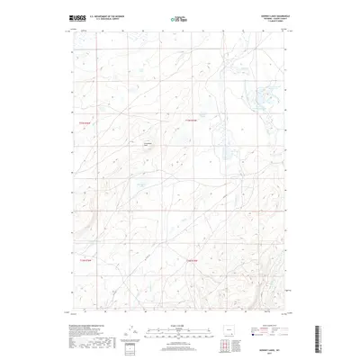
2017 Map of Downey Lakes
USGS Topo · Published 2017About this map
Downey Lakes and the surrounding high country of Albany County define this stretch of the Wyoming landscape. The terrain is a complex network of hydrologic management, characterized by numerous reservoirs and drainage systems. Water features like Lone Tree Reservoir Number One and Lone Tree Reservoir Number 2 are connected by the Lone Tree Ditch, illustrating how the region's limited water resources were harnessed for local use. To the west, the prominent Steamboat Rock overlooks Steamboat Lake, providing a distinct geographic anchor in a landscape otherwise marked by winding seasonal channels such as Spring Cr and Dry Cr. The presence of Co RD 322 and Co RD 34 suggests the continued importance of these routes for accessing remote ranching or recreation lands within the township and range system.
Find a feature on this map
23 named features on this map. Tap any name to fly to it.
Don’t see what you’re looking for? This feature index may not catch every label — zoom into the map to look around manually.
Map Details
Editions of this 2017 Downey Lakes Map
This is the sole edition of this map. No revisions or reprints were ever made.
Other maps of this area

1895 · Laramie
USGS Topo · 1:125,000

1902 · Laramie
USGS Topo · 1:125,000

1905 · Laramie
USGS Topo · 1:125,000

1906 · Laramie
USGS Topo · 1:125,000

1908 · Laramie
USGS Topo · 1:125,000

1916 · Home
USGS Topo · 1:125,000

1920 · Home
USGS Topo · 1:125,000

1954 · Cheyenne
USGS Topo · 1:250,000

1954 · Greeley
USGS Topo · 1:250,000

1957 · Greeley
USGS Topo · 1:250,000