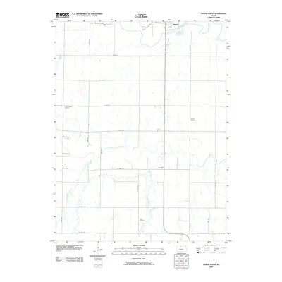
2009 Map of Downs South
USGS Topo · Published 2009About this map
The North Fork Solomon River and the South Fork Solomon River define the agricultural landscape of this northern Kansas region. Near the northern edge, the settlement of Downs serves as a local hub, while smaller communities like Corinth and Forney anchor the rural sections to the south and west. The map reveals a structured grid of rural roads, such as W 47th Dr and S 70th Ave, which facilitate movement between these scattered settlements and the outlying farmsteads.
Find a feature on this map
30 named features on this map. Tap any name to fly to it.
Don’t see what you’re looking for? This feature index may not catch every label — zoom into the map to look around manually.
Map Details
Editions of this 2009 Downs South Map
This is the sole edition of this map. No revisions or reprints were ever made.
Other maps of this area

1893 · Smith Center
USGS Topo · 1:125,000

1894 · Mankato
USGS Topo · 1:125,000

1894 · Beloit
USGS Topo · 1:125,000

1896 · Osborne
USGS Topo · 1:125,000

1953 · Downs South
USGS Topo · 1:24,000

1953 · Waconda Springs
USGS Topo · 1:24,000

1953 · Osborne
USGS Topo · 1:24,000

1955 · Beloit
USGS Topo · 1:250,000

1959 · Beloit
USGS Topo · 1:250,000

1960 · Downs North
USGS Topo · 1:24,000