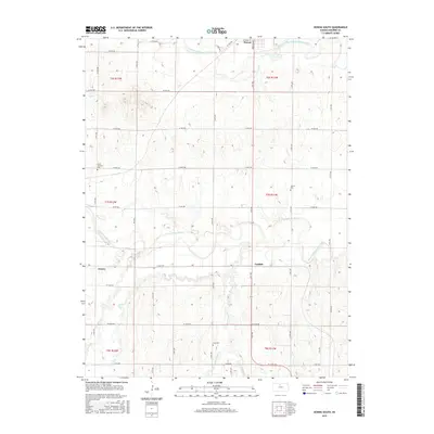
2015 Map of Downs South
USGS Topo · Published 2015About this map
The North Fork Solomon River and S Fork Solomon River converge across this landscape south of Downs, defining a region characterized by fertile bottomlands and rolling uplands. The settlement of Corinth and the smaller locality of Forney represent established rural communities where the agricultural economy relies on the seasonal flow of waterways like Indian Cr and Twin Cr. For those researching local ancestry, the map identifies several distinct burial grounds, including Corinth Cem, Iowa Cem, and South Solomon Cem, which serve as vital markers of the area's pioneer families. The section lines and county road network, such as Levy Rd and Co Rd 388, reflect a systematic division of land that has persisted since the nineteenth century, connecting isolated farmsteads to the regional centers.
Find a feature on this map
44 named features on this map. Tap any name to fly to it.
Don’t see what you’re looking for? This feature index may not catch every label — zoom into the map to look around manually.
Map Details
Editions of this 2015 Downs South Map
This is the sole edition of this map. No revisions or reprints were ever made.
Other maps of this area

1893 · Smith Center
USGS Topo · 1:125,000

1894 · Mankato
USGS Topo · 1:125,000

1894 · Beloit
USGS Topo · 1:125,000

1896 · Osborne
USGS Topo · 1:125,000

1953 · Downs South
USGS Topo · 1:24,000

1953 · Waconda Springs
USGS Topo · 1:24,000

1953 · Osborne
USGS Topo · 1:24,000

1955 · Beloit
USGS Topo · 1:250,000

1959 · Beloit
USGS Topo · 1:250,000

1960 · Downs North
USGS Topo · 1:24,000