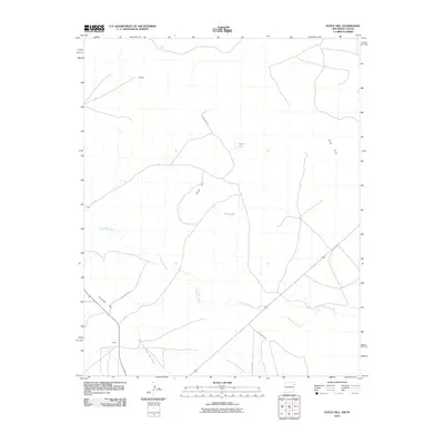
2010 Map of Doyle Hill
USGS Topo · Published 2010About this map
Doyle Hill and Holaday Hill anchor this high plains landscape at the New Mexico-Texas border. This 2010 survey illustrates a sparse ranching and agricultural region defined by intermittent water sources and high-elevation terrain. Scattered small settlements such as Bradley, Burns, and Stroud are connected by a network of county roads, including Quay Road 98 and Quay Road B, which navigate the drainage patterns of the East Fork Nara Visa Arroyo. Local water management is evident through features like the Dirt Tank and Snyder Lake, essential infrastructure for land use in this arid environment. The map also delineates the Sand Hills in the northeastern quadrant and the winding course of Minneosa Creek as it traverses the central and southern portions of the quadrangle.
Find a feature on this map
17 named features on this map. Tap any name to fly to it.
Don’t see what you’re looking for? This feature index may not catch every label — zoom into the map to look around manually.
Map Details
Editions of this 2010 Doyle Hill Map
This is the sole edition of this map. No revisions or reprints were ever made.
Other maps of this area

1954 · Tucumcari
USGS Topo · 1:250,000

1958 · Tucumcari
USGS Topo · 1:250,000

1971 · Kerlin Hill
USGS Topo · 1:24,000

1971 · Centerville Corner
USGS Topo · 1:24,000

1971 · Doyle Hill
USGS Topo · 1:24,000

1971 · Amistad SE
USGS Topo · 1:24,000

1971 · Obar
USGS Topo · 1:24,000

1971 · Nara Visa
USGS Topo · 1:24,000

1971 · Whiteaker Ranch
USGS Topo · 1:24,000

1971 · Knoblaw
USGS Topo · 1:24,000