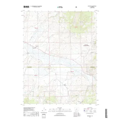
2019 Map of Doyleville
USGS Topo · Published 2019About this map
Doyleville serves as the focal point of this high-country landscape, situated where the waters of Hot Springs Cr meet Tomichi Cr. The settlement is flanked by two distinct burial grounds, Doyleville Cem Number 1 and Doyleville Cem Number 2, providing significant points of interest for genealogical research in this part of Gunnison County. The terrain is defined by dramatic elevations, most notably the prominent Tomichi Dome to the northeast and the forested slopes of the Gunnison National Forest.
Find a feature on this map
42 named features on this map. Tap any name to fly to it.
Don’t see what you’re looking for? This feature index may not catch every label — zoom into the map to look around manually.
Map Details
Editions of this 2019 Doyleville Map
This is the sole edition of this map. No revisions or reprints were ever made.
Other maps of this area

1940 · Garfield
USGS Topo · 1:62,500

1941 · Pitkin
USGS Topo · 1:62,500

1945 · Pitkin
USGS Topo · 1:62,500

1945 · Garfield
USGS Topo · 1:62,500

1956 · Montrose
USGS Topo · 1:250,000

1959 · Montrose
USGS Topo · 1:250,000

1960 · Montrose
USGS Topo · 1:250,000

1962 · Doyleville
USGS Topo · 1:24,000

1962 · West Baldy
USGS Topo · 1:24,000

1962 · Houston Gulch
USGS Topo · 1:24,000