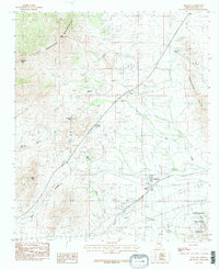
1985 Map of Dragoon
USGS Topo · Published 1985About this map
Dragoon and the nearby settlement of Jordan sit at the eastern base of the Dragoon Mountains in this mid-1980s survey. The landscape is defined by the high-desert transition between the massive granite formations of the Little Dragoon Mountains to the northwest and the Gunnison Hills to the east. Several prominent landmarks dominate the terrain, including Mae West Peaks, Lime Peak, and the distinctive Adams Peak. Evidence of mineral exploration is scattered across the slopes in the form of multiple Mine Shafts and prospects, particularly near the Big Draw. The transportation and utility infrastructure of the era is clearly traced through Texas Summit and Dragoon Pass, showing the heavy reliance on natural gaps to navigate the Cochise County landscape. To the southeast, the map includes a portion of the Coronado National Forest, where drainage systems like Wood Canyon and Dragoon Wash converge.
Find a feature on this map
25 named features on this map. Tap any name to fly to it.
Don’t see what you’re looking for? This feature index may not catch every label — zoom into the map to look around manually.
Map Details
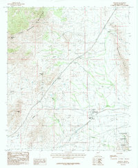
Editions of this 1985 Dragoon Map
2 editions found
Other maps of this area

1915 · Benson
USGS Topo · 1:125,000

1916 · Pearce
USGS Topo · 1:125,000

1922 · Willcox
USGS Topo · 1:125,000

1922 · St. David
USGS Topo · 1:62,500

1926 · Courtland
USGS Topo · 1:62,500

1943 · Benson
USGS Topo · 1:125,000

1943 · Cochise
USGS Topo · 1:62,500

1943 · Dragoon
USGS Topo · 1:62,500

1954 · Silver City
USGS Topo · 1:250,000

1955 · Douglas
USGS Topo · 1:250,000