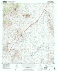
1996 Map of Dragoon
USGS Topo · Published 2002About this map
Little Dragoon Mountains and the Gunnison Hills frame a landscape defined by deep-seated mining operations and rugged transit corridors. The center of the map is dominated by an Open Pit Mine and extensive tailings, highlighting the industrial footprint of the era. This resource extraction is supported by the heavy infrastructure of the Southern Pacific railroad and Interstate 10, which converge near Texas Summit before descending toward the small settlement of Dragoon.
Find a feature on this map
25 named features on this map. Tap any name to fly to it.
Don’t see what you’re looking for? This feature index may not catch every label — zoom into the map to look around manually.
Map Details
Editions of this 1996 Dragoon Map
This is the sole edition of this map. No revisions or reprints were ever made.
Other maps of this area

1915 · Benson
USGS Topo · 1:125,000

1916 · Pearce
USGS Topo · 1:125,000

1922 · Willcox
USGS Topo · 1:125,000

1922 · St. David
USGS Topo · 1:62,500

1926 · Courtland
USGS Topo · 1:62,500

1943 · Benson
USGS Topo · 1:125,000

1943 · Cochise
USGS Topo · 1:62,500

1943 · Dragoon
USGS Topo · 1:62,500

1954 · Silver City
USGS Topo · 1:250,000

1955 · Douglas
USGS Topo · 1:250,000