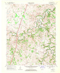
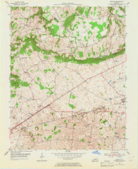
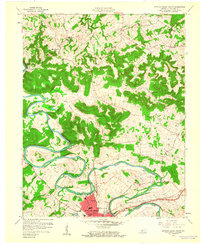
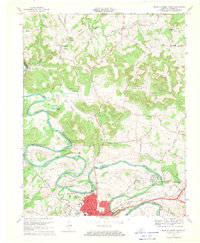
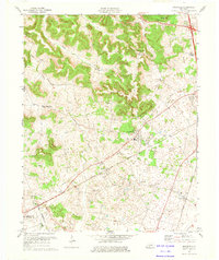
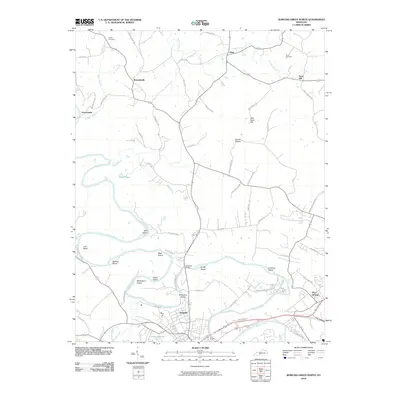
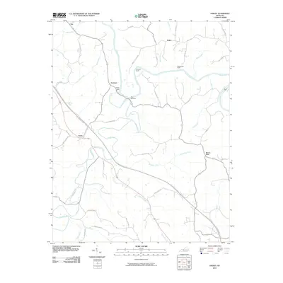
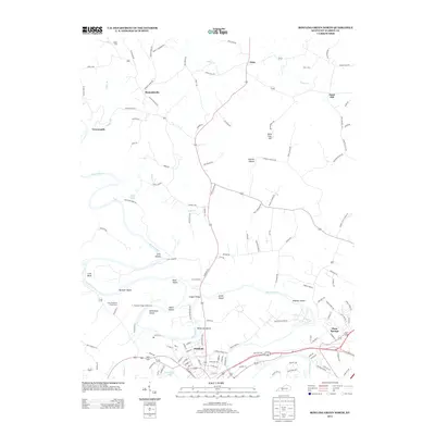
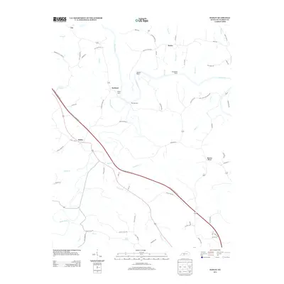
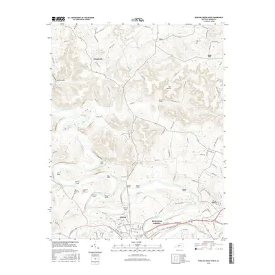
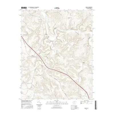
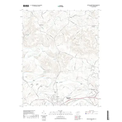
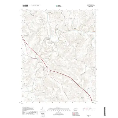
1968 Map of Drake
USGS Topo · Published 1969About this map
Drakes Creek and its many meandering branches dictate the character of this landscape along the border of Warren and Simpson Counties. Small rural hubs such as Rich Pond, Matlock, and Temperance anchor a network of local roads including Matlock Road and Old Union Road. The region is marked by a deep-seated community infrastructure, shown through numerous country churches like Marthas Chapel, Old Drakes Creek Ch, and Mt Vernon Ch.
Find a feature on this map
48 named features on this map. Tap any name to fly to it.
Don’t see what you’re looking for? This feature index may not catch every label — zoom into the map to look around manually.
Map Details
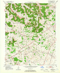
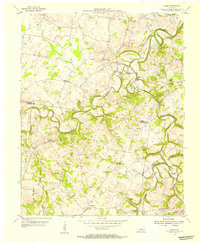
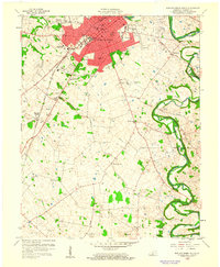
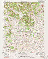
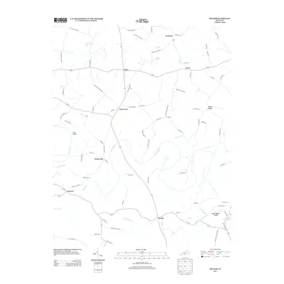
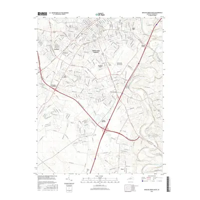
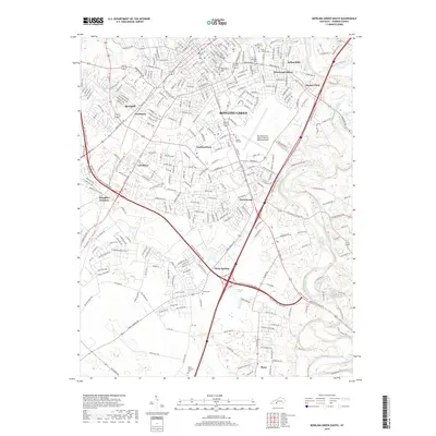
Editions of this 1968 Drake Map
2 editions found
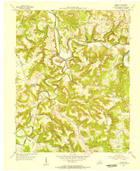
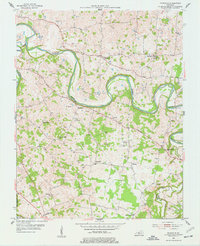
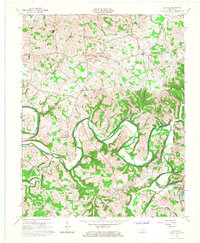
Historical Maps of Hillsdale Through Time
60 maps found
1952 Rockfield
Warren County, KY
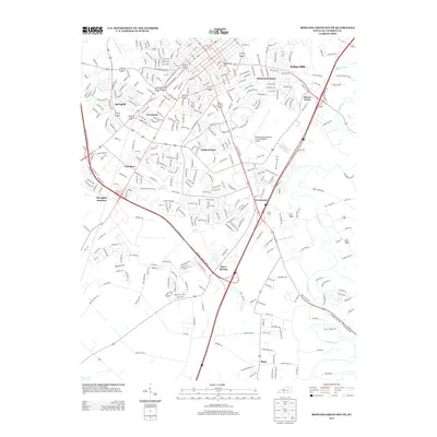
1954 Bowling Green North
Warren County, KY
1954 Bowling Green South
Warren County, KY
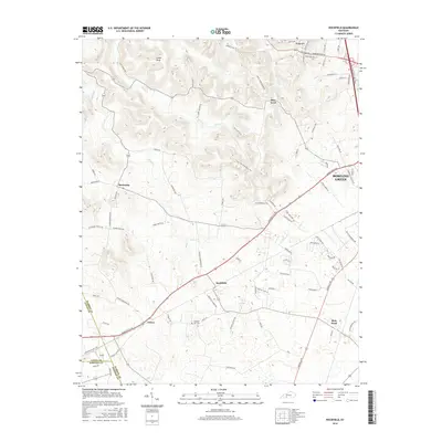
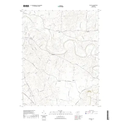
1954 Bristow
Warren County, KY
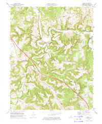
1954 Drake
Warren County, KY
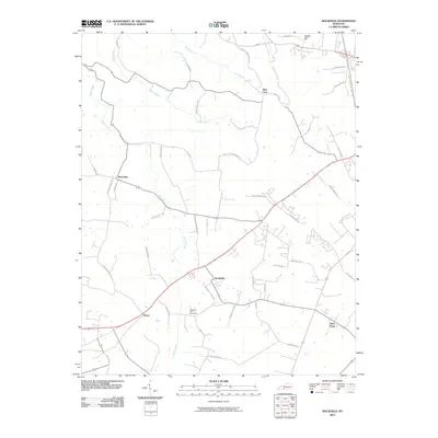
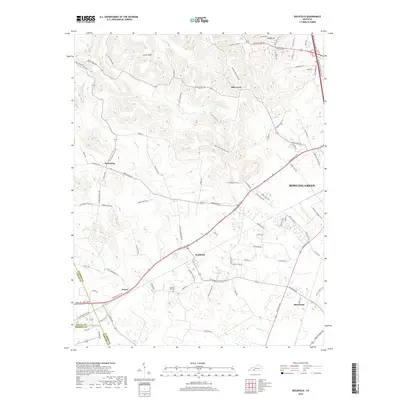
1954 Hadley
Warren County, KY

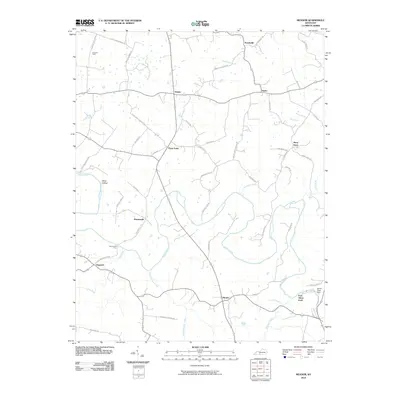
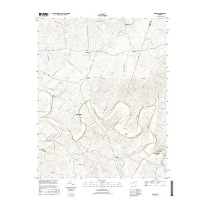
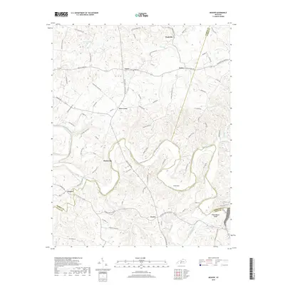
1954 Meador
Warren County, KY
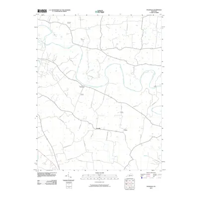
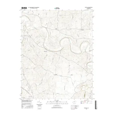
1954 Polkville
Warren County, KY
1959 Bowling Green North
Warren County, KY
1959 Bowling Green South
Warren County, KY
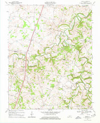
1965 Bristow
Warren County, KY
1965 Meador
Warren County, KY
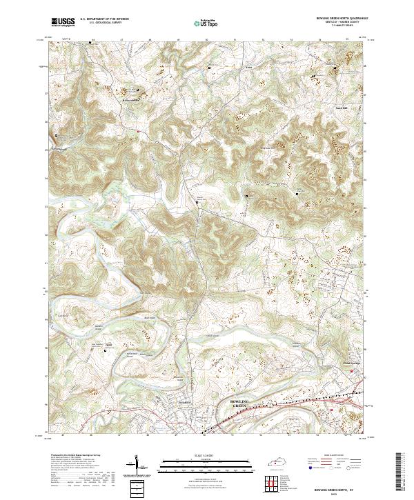
1968 Bowling Green North
Warren County, KY
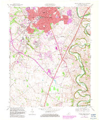
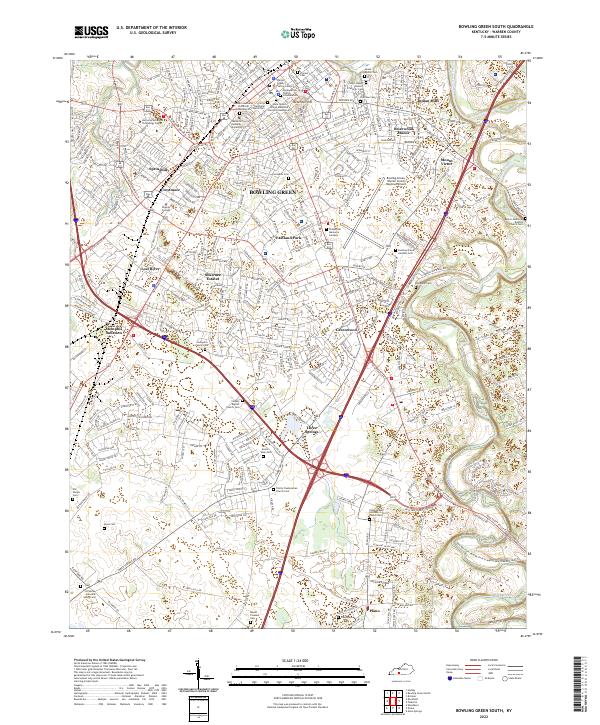
1968 Bowling Green South
Warren County, KY
1968 Drake
Warren County, KY
1973 Hadley
Warren County, KY
1973 Rockfield
Warren County, KY
1979 Rockfield
Warren County, KY
1993 Bowling Green North
Warren County, KY
1993 Bowling Green South
Warren County, KY
2010 Bowling Green North
Warren County, KY
2010 Bowling Green South
Warren County, KY
2010 Bristow
Warren County, KY
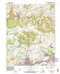
2010 Drake
Warren County, KY
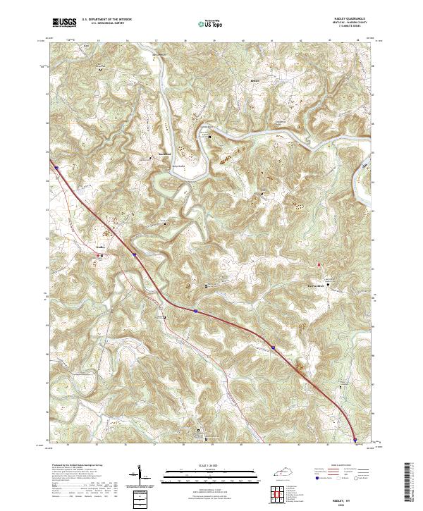
2010 Hadley
Warren County, KY
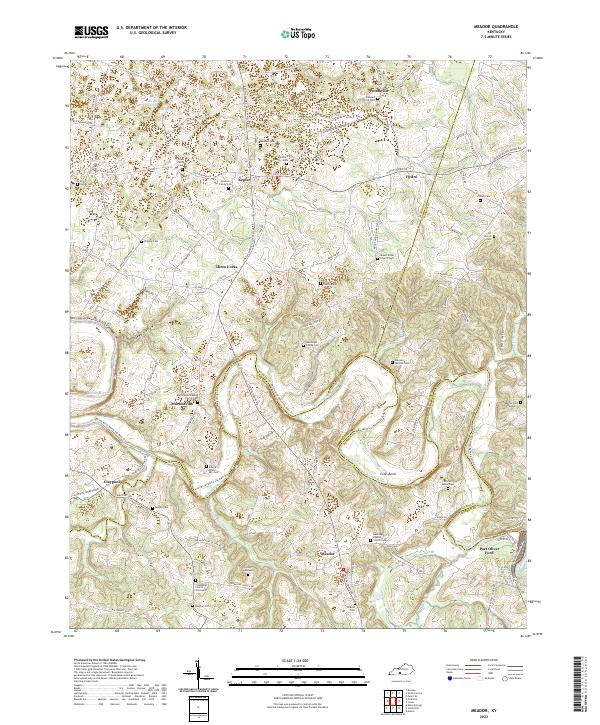
2010 Meador
Warren County, KY
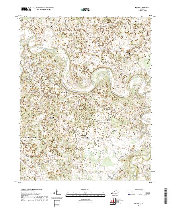
2010 Polkville
Warren County, KY
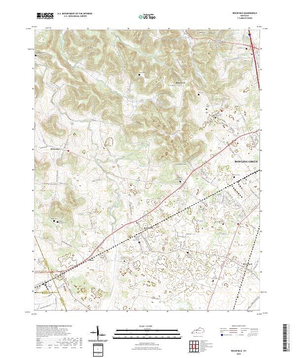
2010 Rockfield
Warren County, KY
2013 Bowling Green North
Warren County, KY
2013 Bowling Green South
Warren County, KY
2013 Bristow
Warren County, KY
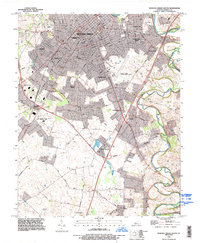
2013 Drake
Warren County, KY
2013 Hadley
Warren County, KY
2013 Meador
Warren County, KY
2013 Polkville
Warren County, KY
2013 Rockfield
Warren County, KY
2016 Bowling Green North
Warren County, KY
2016 Bowling Green South
Warren County, KY
2016 Bristow
Warren County, KY
2016 Drake
Warren County, KY
2016 Hadley
Warren County, KY
2016 Meador
Warren County, KY
2016 Polkville
Warren County, KY
2016 Rockfield
Warren County, KY
2019 Bowling Green North
Warren County, KY
2019 Bowling Green South
Warren County, KY
2019 Bristow
Warren County, KY
2019 Drake
Warren County, KY
2019 Hadley
Warren County, KY
2019 Meador
Warren County, KY
2019 Polkville
Warren County, KY
2019 Rockfield
Warren County, KY
2022 Bowling Green North
Warren County, KY
2022 Bowling Green South
Warren County, KY
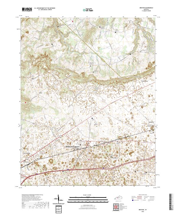
2022 Bristow
Warren County, KY
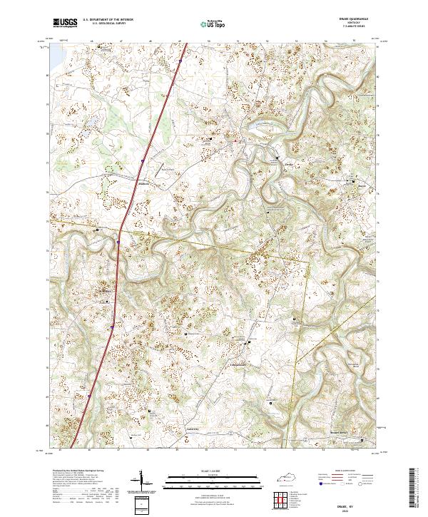
2022 Drake
Warren County, KY
2022 Hadley
Warren County, KY
2022 Meador
Warren County, KY
2022 Polkville
Warren County, KY
2022 Rockfield
Warren County, KY