
1953 Map of Drakes Bay
USGS Topo · Published 1955About this map
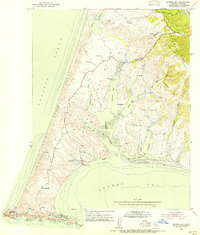
Point Reyes anchors this mid-century coastal survey, where the rugged shoreline of the Pacific Ocean meets a landscape defined by large ranching tracts. The interior is marked by alphabetically designated properties such as H Ranch, M Ranch, and D Ranch, alongside the centrally located Home Ranch, reflecting a long-standing pattern of maritime dairy and cattle production. Transport follows the path of the Sir Francis Drake Highway, which winds past the Point Reyes Sch and several radio facilities, including a Radio Relay Sta and a Radio Tower.
Find a feature on this map
44 named features on this map. Tap any name to fly to it.
Don’t see what you’re looking for? This feature index may not catch every label — zoom into the map to look around manually.
Map Details
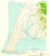
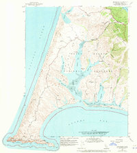
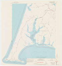
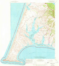
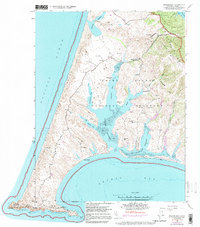
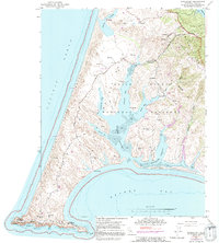
Editions of this 1953 Drakes Bay Map
8 editions found
Other maps of this area

1916 · Point Reyes
USGS Topo · 1:48,000

1918 · Point Reyes
USGS Topo · 1:62,500

1947 · Santa Rosa
USGS Topo · 1:250,000

1947 · San Francisco
USGS Topo · 1:250,000

1948 · San Francisco
USGS Topo · 1:250,000

1949 · Santa Rosa
USGS Topo · 1:250,000
1954 · Point Reyes NE
USGS Topo · 1:24,000
1954 · Inverness
USGS Topo · 1:24,000
1954 · Tomales
USGS Topo · 1:24,000
1954 · Double Point
USGS Topo · 1:24,000