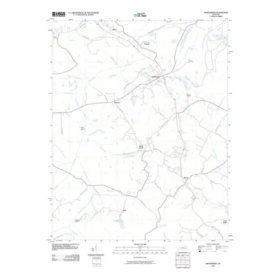
2010 Map of Drakesboro
USGS Topo · Published 2010About this map
Drakesboro serves as a central hub in this part of Muhlenberg County, where the landscape is defined by a dense network of local roads and creek systems. Named for local musician and coal country legend Merle Travis, the Merle Travis Hwy cuts through the territory, linking settlements like Ebenezer and Beech Creek. The area is notably water-rich, with Pond Creek and Plum Creek winding through the terrain, supporting a series of small communities including Nonnell, Bevier, and Belton. Genealogists will find several burial sites recorded, such as Ennis Cemetery and Browder Cemetery, while the northern portion of the map is marked by specialized industrial routes like the P and M Haul Rd, reflecting the regional importance of resource extraction and haulage during this era.
Find a feature on this map
47 named features on this map. Tap any name to fly to it.
Don’t see what you’re looking for? This feature index may not catch every label — zoom into the map to look around manually.
Map Details
Editions of this 2010 Drakesboro Map
This is the sole edition of this map. No revisions or reprints were ever made.
Other maps of this area

1909 · Hartford
USGS Topo · 1:62,500

1909 · Central City
USGS Topo · 1:62,500

1911 · Drakesboro
USGS Topo · 1:48,000

1911 · Dunmor
USGS Topo · 1:48,000

1913 · Drakesboro
USGS Topo · 1:62,500

1914 · Dunmor
USGS Topo · 1:62,500

1952 · Greenville
USGS Topo · 1:24,000

1953 · Drakesboro
USGS Topo · 1:24,000

1953 · Rosewood
USGS Topo · 1:24,000

1953 · Central City West
USGS Topo · 1:24,000