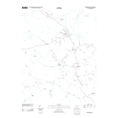
2013 Map of Drakesboro
USGS Topo · Published 2013About this map
Drakesboro serves as the focal point of this Muhlenberg County landscape, where a dense network of local streets like Mine St, Railroad St, and City Dump Rd hint at the area's industrial character. The map traces a corridor of settlements including Bevier, Nonnell, and Browder, following the drainage of Plum Cr and Pond Cr. To the south, the terrain becomes more varied around Boggess Hollow and the waters of Kirkwood Lake near Wells. This survey reveals the transition from concentrated town centers to the smaller rural hamlets of Beech Creek and Beechmont, providing a detailed view of the road systems and watercourses that have historically defined these Kentucky coalfield communities.
Find a feature on this map
111 named features on this map. Tap any name to fly to it.
Don’t see what you’re looking for? This feature index may not catch every label — zoom into the map to look around manually.
Map Details
Editions of this 2013 Drakesboro Map
This is the sole edition of this map. No revisions or reprints were ever made.
Other maps of this area

1909 · Hartford
USGS Topo · 1:62,500

1909 · Central City
USGS Topo · 1:62,500

1911 · Drakesboro
USGS Topo · 1:48,000

1911 · Dunmor
USGS Topo · 1:48,000

1913 · Drakesboro
USGS Topo · 1:62,500

1914 · Dunmor
USGS Topo · 1:62,500

1952 · Greenville
USGS Topo · 1:24,000

1953 · Drakesboro
USGS Topo · 1:24,000

1953 · Rosewood
USGS Topo · 1:24,000

1953 · Central City West
USGS Topo · 1:24,000