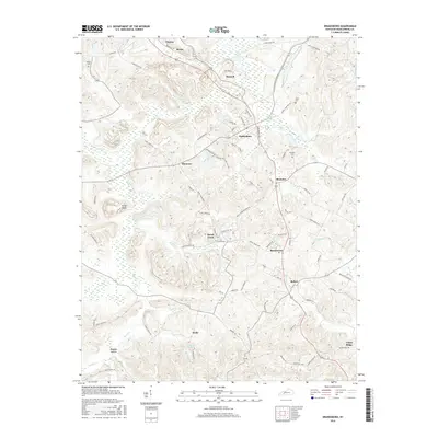
2016 Map of Drakesboro
USGS Topo · Published 2016About this map
Drakesboro serves as the central hub for this portion of Muhlenberg County, where a network of local roads like John Prine Ave and Ike Everly Ave intersect. The landscape is defined by the legacy of the coal industry, evidenced by numerous haul roads such as the P and M Haul Rd and specialized routes like Miners Hall Rd and Beech Creek Browder Rd. These industrial arteries weave between long-established settlements including Browder, Beechmont, and Beech Creek.
Find a feature on this map
84 named features on this map. Tap any name to fly to it.
Don’t see what you’re looking for? This feature index may not catch every label — zoom into the map to look around manually.
Map Details
Editions of this 2016 Drakesboro Map
This is the sole edition of this map. No revisions or reprints were ever made.
Other maps of this area

1909 · Hartford
USGS Topo · 1:62,500

1909 · Central City
USGS Topo · 1:62,500

1911 · Drakesboro
USGS Topo · 1:48,000

1911 · Dunmor
USGS Topo · 1:48,000

1913 · Drakesboro
USGS Topo · 1:62,500

1914 · Dunmor
USGS Topo · 1:62,500

1952 · Greenville
USGS Topo · 1:24,000

1953 · Drakesboro
USGS Topo · 1:24,000

1953 · Rosewood
USGS Topo · 1:24,000

1953 · Central City West
USGS Topo · 1:24,000