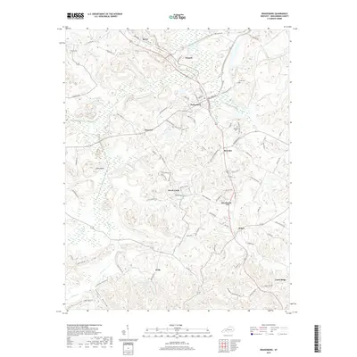
2019 Map of Drakesboro
USGS Topo · Published 2019About this map
Drakesboro serves as the central hub of this Muhlenberg County landscape, where the legacy of coal transit is visible through the P and M Haul Rd and numerous local connections. The terrain is defined by the winding course of Pond Cr and Beech Creek, cutting through a topography of numerous small hollows like Boggess Hollow. Long-established communities such as Beechmont, Browder, and Bevier are interconnected by a dense network of country roads including Rochester Rd and Reynolds Dr.
Find a feature on this map
89 named features on this map. Tap any name to fly to it.
Don’t see what you’re looking for? This feature index may not catch every label — zoom into the map to look around manually.
Map Details
Editions of this 2019 Drakesboro Map
This is the sole edition of this map. No revisions or reprints were ever made.
Other maps of this area

1909 · Hartford
USGS Topo · 1:62,500

1909 · Central City
USGS Topo · 1:62,500

1911 · Drakesboro
USGS Topo · 1:48,000

1911 · Dunmor
USGS Topo · 1:48,000

1913 · Drakesboro
USGS Topo · 1:62,500

1914 · Dunmor
USGS Topo · 1:62,500

1952 · Greenville
USGS Topo · 1:24,000

1953 · Drakesboro
USGS Topo · 1:24,000

1953 · Rosewood
USGS Topo · 1:24,000

1953 · Central City West
USGS Topo · 1:24,000