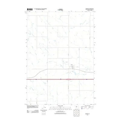
2012 Map of Draper
USGS Topo · Published 2012About this map
Draper sits at the intersection of rural transit and rolling plains, anchored by its Po and a small grid centered on Main St and 1st St. This South Dakota settlement is defined by the waterways that carve through the landscape, most notably the meandering course of Medicine Creek and its tributary, N Fork Medicine Creek. To the northwest, E Br White Clay Creek drains the higher ground, while the southern reaches are marked by the presence of Bull Creek and Spring Creek. The layout of the region reflects the systematic organization of the West, with major thoroughfares like Jones Co Hwy S6 and Lincoln Rd providing structure to the surrounding agricultural land. North of the town center, the Draper Cem serves as a silent landmark for local genealogy and history.
Find a feature on this map
17 named features on this map. Tap any name to fly to it.
Don’t see what you’re looking for? This feature index may not catch every label — zoom into the map to look around manually.
Map Details
Editions of this 2012 Draper Map
This is the sole edition of this map. No revisions or reprints were ever made.
Other maps of this area

1951 · Murdo SE
USGS Topo · 1:24,000

1951 · Murdo SW
USGS Topo · 1:24,000

1954 · Pierre
USGS Topo · 1:250,000

1955 · Martin
USGS Topo · 1:250,000

1958 · Pierre
USGS Topo · 1:250,000

1958 · Martin
USGS Topo · 1:250,000

1970 · Vivian SW
USGS Topo · 1:24,000

1972 · Pierre 3 SW
USGS Topo · 1:24,000

1972 · Draper
USGS Topo · 1:24,000

1972 · Murdo
USGS Topo · 1:24,000