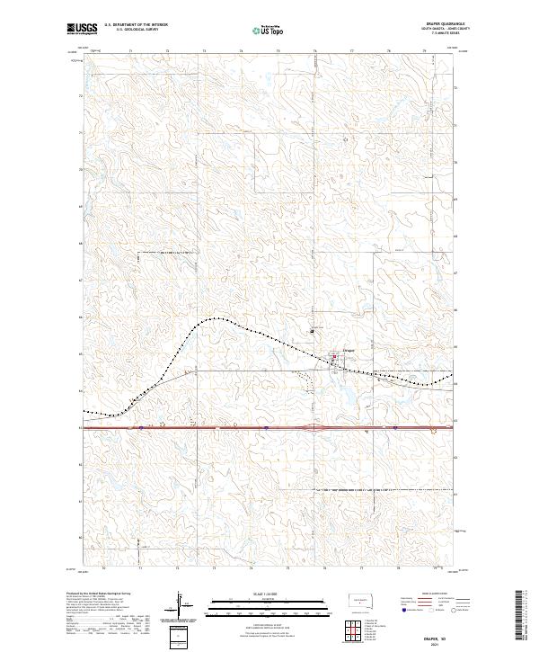
2021 Map of Draper
USGS Topo · Published 2021About this map
Draper serves as the primary hub of this high plains landscape in Jones County, organized around the intersection of Main St and 1st St. The town's grid is situated just north of a major transportation corridor, where the local economy and movement were shaped by the proximity to Medicine Creek. This waterway and its tributaries, including N Fork Medicine Cr, carve through the surrounding terrain, providing vital drainage and natural markers for the township and range divisions. The area's communal history is anchored by the Draper Cem, located north of the town center off Cemetery Rd. Throughout the quadrangle, a network of county roads like Lincoln Rd and 281st Ave connect dispersed agricultural sections, while southern reaches are defined by the paths of Bull Creek and Spring Creek.
Find a feature on this map
28 named features on this map. Tap any name to fly to it.
Don’t see what you’re looking for? This feature index may not catch every label — zoom into the map to look around manually.
Map Details
Editions of this 2021 Draper Map
This is the sole edition of this map. No revisions or reprints were ever made.
Other maps of this area

1951 · Murdo SE
USGS Topo · 1:24,000

1951 · Murdo SW
USGS Topo · 1:24,000

1954 · Pierre
USGS Topo · 1:250,000

1955 · Martin
USGS Topo · 1:250,000

1958 · Pierre
USGS Topo · 1:250,000

1958 · Martin
USGS Topo · 1:250,000

1970 · Vivian SW
USGS Topo · 1:24,000

1972 · Pierre 3 SW
USGS Topo · 1:24,000

1972 · Draper
USGS Topo · 1:24,000

1972 · Murdo
USGS Topo · 1:24,000