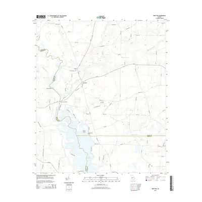
2014 Map of Drayton
USGS Topo · Published 2014About this map
The Flint River corridor serves as the geographic heart of this survey, defining the border between Dooly and Sumter counties before widening into the expansive waters of Lake Blackshear. The settlement of Drayton occupies a central position, established at a historic junction where several regional routes converge near the river's eastern banks. The landscape is marked by unique riverine features such as the Gleaton-Johnson Slough and prominent high ground at Danville Bluff, alongside isolated landmarks within the reservoir including Whisky Island and Smokehouse Point.
Find a feature on this map
82 named features on this map. Tap any name to fly to it.
Don’t see what you’re looking for? This feature index may not catch every label — zoom into the map to look around manually.
Map Details
Editions of this 2014 Drayton Map
This is the sole edition of this map. No revisions or reprints were ever made.
Other maps of this area

1953 · Dothan
USGS Topo · 1:250,000

1953 · Waycross
USGS Topo · 1:250,000

1954 · Dothan
USGS Topo · 1:250,000

1955 · Dothan
USGS Topo · 1:250,000

1955 · Phenix City
USGS Topo · 1:250,000

1956 · Leslie
USGS Topo · 1:62,500

1957 · Phenix City
USGS Topo · 1:250,000

1957 · Macon
USGS Topo · 1:250,000

1958 · Macon
USGS Topo · 1:250,000

1958 · Phenix City
USGS Topo · 1:250,000