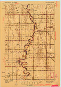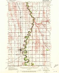
1939 Map of Drayton
USGS Topo · Published 1972About this map
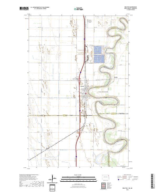
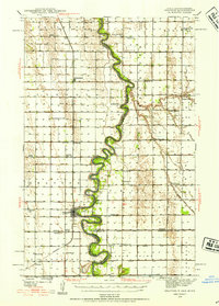
The Red River of the North winds in sharp, dramatic meanders through this Red River Valley landscape, forming the state boundary between North Dakota and Minnesota. This 1939 survey illustrates a highly developed agricultural grid dominated by a complex drainage system, featuring extensive works like County Ditch No 6 and Judicial Ditch No 11. The settlement of Drayton serves as a primary hub along the Northern Pacific railroad, while smaller rail-side communities such as Bowesmont, Pittsburg, and Herrick anchor the surrounding townships.
Find a feature on this map
55 named features on this map. Tap any name to fly to it.
Don’t see what you’re looking for? This feature index may not catch every label — zoom into the map to look around manually.
Map Details
Editions of this 1939 Drayton Map
2 editions found
Historical Maps of Drayton Through Time
8 maps found