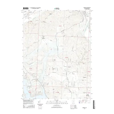
2016 Map of Dresden
USGS Topo · Published 2016About this map
The Muskingum River flows through the eastern portion of this Muskingum County landscape, while the southern reaches are dominated by the waters of Dillon Lake and the protected lands of Dillon State Park. The settlement of Dresden sits near the river's bend, while Frazeysburg and Shannon are located further west along the drainages of Wakatamika Creek. This 2016 survey illustrates a rural region where small family and church burial grounds are distributed across the hills, including the Mattingly Settlement Cem and Black Log Cem. Genealogists and local historians can trace the network of country roads such as Old Stagecoach Rd and Raiders Rd that connect these dispersed communities. High ground at The Highlands overlooks the intersection of numerous runs and creeks that feed into the larger river systems, defining the area's hydrology.
Find a feature on this map
149 named features on this map. Tap any name to fly to it.
Don’t see what you’re looking for? This feature index may not catch every label — zoom into the map to look around manually.
Map Details
Editions of this 2016 Dresden Map
This is the sole edition of this map. No revisions or reprints were ever made.
Other maps of this area

1908 · Conesville
USGS Topo · 1:62,500

1910 · Frazeysburg
USGS Topo · 1:62,500

1910 · Philo
USGS Topo · 1:62,500

1910 · Zanesville
USGS Topo · 1:62,500

1910 · Conesville
USGS Topo · 1:62,500

1947 · Columbus
USGS Topo · 1:250,000

1949 · Clarksburg
USGS Topo · 1:250,000

1950 · Marion
USGS Topo · 1:250,000

1951 · Canton
USGS Topo · 1:250,000

1953 · Canton
USGS Topo · 1:250,000