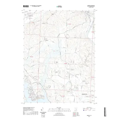
2019 Map of Dresden
USGS Topo · Published 2019About this map
Wakatomika Creek and the Muskingum River define the hydraulic character of this Muskingum County landscape, where the villages of Dresden and Frazeysburg sit at the northern edge of a deeply dissected plateau. For genealogists, the map is remarkably dense with legacy burial grounds, including the Hoppers Grove Methodist Episcopal Cem and the remote Mattingly Settlement Cem, documenting the early Catholic and Protestant rural communities that settled these hills.
Find a feature on this map
153 named features on this map. Tap any name to fly to it.
Don’t see what you’re looking for? This feature index may not catch every label — zoom into the map to look around manually.
Map Details
Editions of this 2019 Dresden Map
This is the sole edition of this map. No revisions or reprints were ever made.
Other maps of this area

1908 · Conesville
USGS Topo · 1:62,500

1910 · Frazeysburg
USGS Topo · 1:62,500

1910 · Philo
USGS Topo · 1:62,500

1910 · Zanesville
USGS Topo · 1:62,500

1910 · Conesville
USGS Topo · 1:62,500

1947 · Columbus
USGS Topo · 1:250,000

1949 · Clarksburg
USGS Topo · 1:250,000

1950 · Marion
USGS Topo · 1:250,000

1951 · Canton
USGS Topo · 1:250,000

1953 · Canton
USGS Topo · 1:250,000