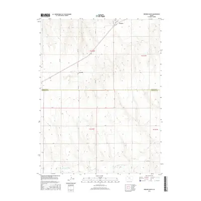
2015 Map of Dresden South
USGS Topo · Published 2015About this map
Dresden and Leoville anchor the high plains of northwest Kansas on this 2015 U.S. Geological Survey topographic sheet. The landscape is defined by the section-line grid of the Public Land Survey System, with an extensive network of rural roads such as 1400th Rd and 1500th Rd crossing the undulating terrain. To the south, the N Fork Solomon River cuts through the southern reaches of Sheridan County, while the northern section in Decatur County features the concentrated street plan of Dresden, including Railroad St and Kings Ave. The proximity of the county line between Decatur Co and Sheridan Co reveals how regional boundaries intersected with established transit routes like State Hwy 223. This map reflects the enduring agricultural structure of the region, where drainage patterns from the river basin dictate the placement of local thoroughfares and homestead boundaries.
Find a feature on this map
31 named features on this map. Tap any name to fly to it.
Don’t see what you’re looking for? This feature index may not catch every label — zoom into the map to look around manually.
Map Details
Editions of this 2015 Dresden South Map
This is the sole edition of this map. No revisions or reprints were ever made.
Other maps of this area

1951 · Selden
USGS Topo · 1:62,500

1954 · Goodland
USGS Topo · 1:250,000

1956 · Goodland
USGS Topo · 1:250,000

1957 · Goodland
USGS Topo · 1:250,000
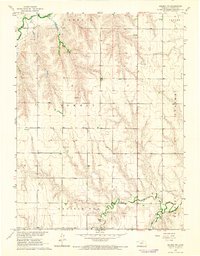
1965 · Selden NE
USGS Topo · 1:24,000
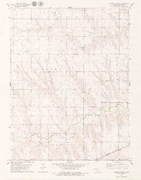
1978 · Dresden North
USGS Topo · 1:24,000
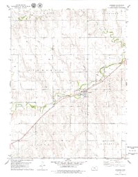
1978 · Jennings
USGS Topo · 1:24,000

1978 · Allison
USGS Topo · 1:24,000

1978 · Selden
USGS Topo · 1:24,000

1978 · Dresden South
USGS Topo · 1:24,000