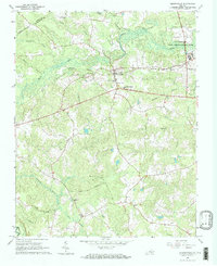
1966 Map of Drewryville
USGS Topo · Published 1968About this map
The Southampton County lowlands are defined here by a dense network of watercourses, where Smith Swamp and Three Creek carve through the wooded landscape. The settlement of Drewryville serves as a local hub, situated at the junction of the Danville and Franklin road and the Norfolk and Western railway. This rail corridor also passes through Arringdale, reflecting the importance of timber and agricultural transport in the mid-1960s.
Find a feature on this map
28 named features on this map. Tap any name to fly to it.
Don’t see what you’re looking for? This feature index may not catch every label — zoom into the map to look around manually.
Map Details
Editions of this 1966 Drewryville Map
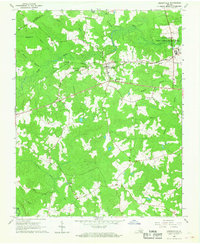
2 editions found
Other maps of this area

1919 · Jarratt
USGS Topo · 1:62,500

1919 · Homeville
USGS Topo · 1:48,000

1919 · Boykins
USGS Topo · 1:48,000

1919 · Arringdale
USGS Topo · 1:48,000

1920 · Homeville
USGS Topo · 1:62,500

1920 · Boykins
USGS Topo · 1:62,500

1920 · Arringdale
USGS Topo · 1:62,500

1942 · Arringdale
USGS Topo · 1:62,500

1943 · Sebrell
USGS Topo · 1:31,680

1951 · Jarratt
USGS Topo · 1:62,500