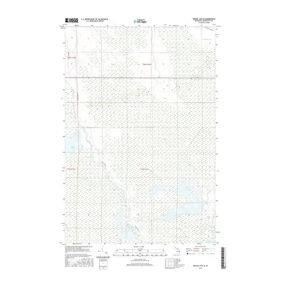
2017 Map of Driggs Lake SE
USGS Topo · Published 2017About this map
The Driggs River and its complex network of managed wetlands define this section of Schoolcraft County. A high-resolution look at the hydrologic engineering of the region, the map shows an extensive system of water control features including the Unit Number One Diversion Ditch, Unit Number Two Diversion Ditch, and Sweeney Ditch. These channels feed a series of designated basins such as A-Two Pool, C-Two Pool, and Sweeney Pool within the Driggs Marsh. For those interested in the recreational and transit history of the Upper Peninsula, the Fox River Pathway winds through the northeast corner, while M-28 provides the primary east-west corridor across this marshy landscape. The presence of smaller tributaries like Sand Creek and the man-made Twomile Ditch illustrates the long-term efforts to manage the water levels of these vast peatlands.
Find a feature on this map
21 named features on this map. Tap any name to fly to it.
Don’t see what you’re looking for? This feature index may not catch every label — zoom into the map to look around manually.
Map Details
Editions of this 2017 Driggs Lake SE Map
This is the sole edition of this map. No revisions or reprints were ever made.
Other maps of this area

1931 · Seney SW
USGS Topo · 1:31,680

1931 · Seney NW
USGS Topo · 1:31,680

1931 · Manistique River NE
USGS Topo · 1:31,680

1931 · Driggs Lake NE
USGS Topo · 1:31,680

1931 · Manistique River NW
USGS Topo · 1:31,680

1931 · Driggs Lake NW
USGS Topo · 1:31,680

1931 · Driggs Lake SW
USGS Topo · 1:31,680

1931 · Blaney NW
USGS Topo · 1:31,680

1931 · Driggs Lake SE
USGS Topo · 1:31,680

1954 · Sault Sainte Marie
USGS Topo · 1:250,000